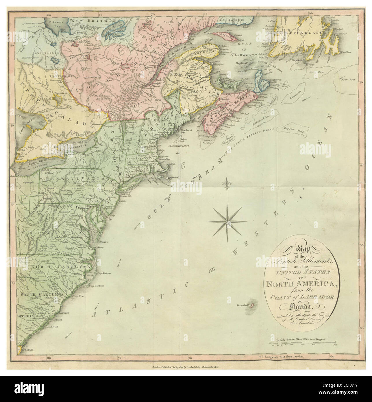
LAMBERT(1816) 1.010 MAP OF THE BRITISH SETTLEMENTS, AND THE UNITED STATES OF NORTH AMERICA
RMID:Image ID:ECFA1Y
Image details
Contributor:
BLM Collection / Alamy Stock PhotoImage ID:
ECFA1YFile size:
7.1 MB (425 KB Compressed download)Releases:
Model - no | Property - noDo I need a release?Dimensions:
1573 x 1588 px | 26.6 x 26.9 cm | 10.5 x 10.6 inches | 150dpiMore information:
This image is a public domain image, which means either that copyright has expired in the image or the copyright holder has waived their copyright. Alamy charges you a fee for access to the high resolution copy of the image.
This image could have imperfections as it’s either historical or reportage.