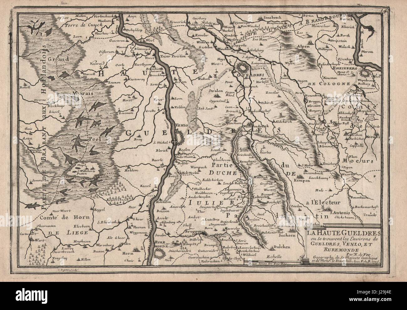
"La Haute Gueldres…". Geldern Venlo Roermond Rheinberg Meuse. DE FER 1705 map
Image details
Contributor:
Antiqua Print Gallery / Alamy Stock PhotoImage ID:
J29J4EFile size:
36.7 MB (2.5 MB Compressed download)Releases:
Model - no | Property - noDo I need a release?Dimensions:
4301 x 2985 px | 36.4 x 25.3 cm | 14.3 x 10 inches | 300dpiDate taken:
1705Location:
North Rhine-WestphaliaMore information:
This image could have imperfections as it’s either historical or reportage.
Artist/engraver/cartographer: Nicolas de Fer. Provenance: Avec Privilege du Roi. "Les Forces d'Europe", Paris, 1705. Type: Antique copperplate map. The map shows part of the Meuse/Maas valley with adjacent country in present-day Netherlands and North Rhine-Westphalia. A projected canal (the Fossa Eugeniana) intended to link the Meuse at Venlo to the Rhine at Rheinberg via Geldern is indicated; the canal was never completed. The Fossa Eugeniana or Spanish Rhine-Maas canal was a project during the Thirty Years' War planned by the then Spanish regent in Brussels, Isabella Clara Eugenia, after whom it was named, during the years 1625–1629.