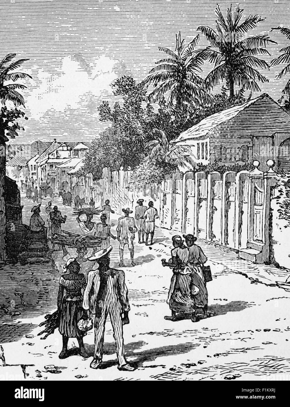
A 19th Century view of Kingston, the capital and largest city of Jamaica, located on the southeastern coast of the island. In 1848 the Jamaican government expanded Kingston by constructing new homes in the west, north and east of the city. This housing became highly segregated in terms of race and class and by 1860 the majority of white elites lived on the outskirts of the city.
RMID:Image ID:F1KXRJ
Image details
Contributor:
De Luan / Alamy Stock PhotoImage ID:
F1KXRJFile size:
40.5 MB (2.8 MB Compressed download)Releases:
Model - no | Property - noDo I need a release?Dimensions:
3286 x 4311 px | 27.8 x 36.5 cm | 11 x 14.4 inches | 300dpiDate taken:
14 April 2012Location:
Kingston Street Scene, Jamaica, West IndiesMore information:
This image is a public domain image, which means either that copyright has expired in the image or the copyright holder has waived their copyright. Alamy charges you a fee for access to the high resolution copy of the image.
This image could have imperfections as it’s either historical or reportage.
"Century Geographical Readers"