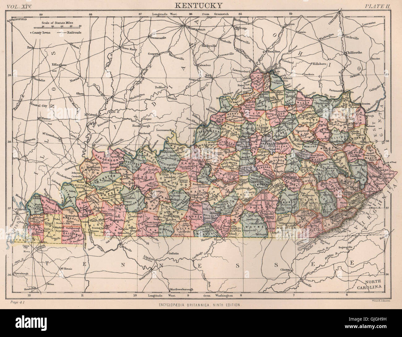
KENTUCKY state map. Counties. BRITANNICA, 1898
RFID:Image ID:GJGH9H
Image details
Contributor:
Antiqua Print Gallery / Alamy Stock PhotoImage ID:
GJGH9HFile size:
17.9 MB (1.5 MB Compressed download)Releases:
Model - no | Property - noDo I need a release?Dimensions:
2854 x 2196 px | 24.2 x 18.6 cm | 9.5 x 7.3 inches | 300dpiDate taken:
1898Location:
KentuckyMore information:
This image could have imperfections as it’s either historical or reportage.
'Kentucky'. Artist/engraver/cartographer: Unsigned. Provenance: "The Encyclopaedia Britannica"; Published by Edinburgh: Adam & Charles Black, London; 9th Edition. Type: Antique colour map.