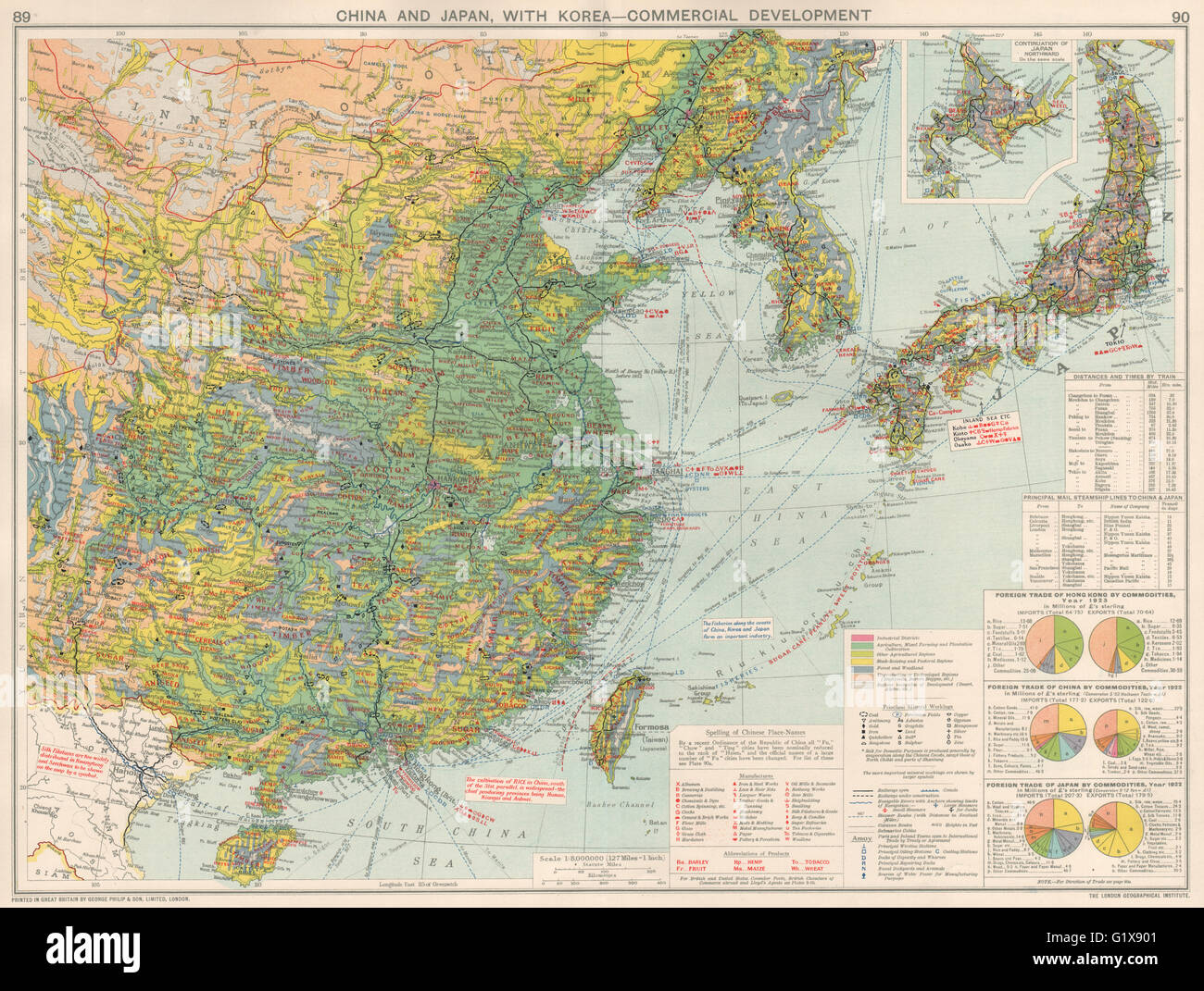
East Asia China Japan Korea. Manufacturing Minerals Mining Agricultural 1925 map
RFID:Image ID:G1X901
Image details
Contributor:
Antiqua Print Gallery / Alamy Stock PhotoImage ID:
G1X901File size:
74.8 MB (6.3 MB Compressed download)Releases:
Model - no | Property - noDo I need a release?Dimensions:
5886 x 4442 px | 49.8 x 37.6 cm | 19.6 x 14.8 inches | 300dpiDate taken:
1925Location:
East AsiaMore information:
This image could have imperfections as it’s either historical or reportage.
'China and Japan, with Korea - Commercial Development; Inset map of Continuation of Japan Northward'. Artist/engraver/cartographer: George Philip & Son. Provenance: "The Chambers of Commerce Atlas", issued under the auspices of the British Chambers of Commerce, specially prepared for The Times Trade and Engineering Supplement, edited by George Philip, F.R.G.S. and T. Swinborne Sheldrake; published by George Philip & Son, Ltd, The London Geographical Institute, London. Type: Vintage colour atlas map; Scale 1: 8, 000, 000.