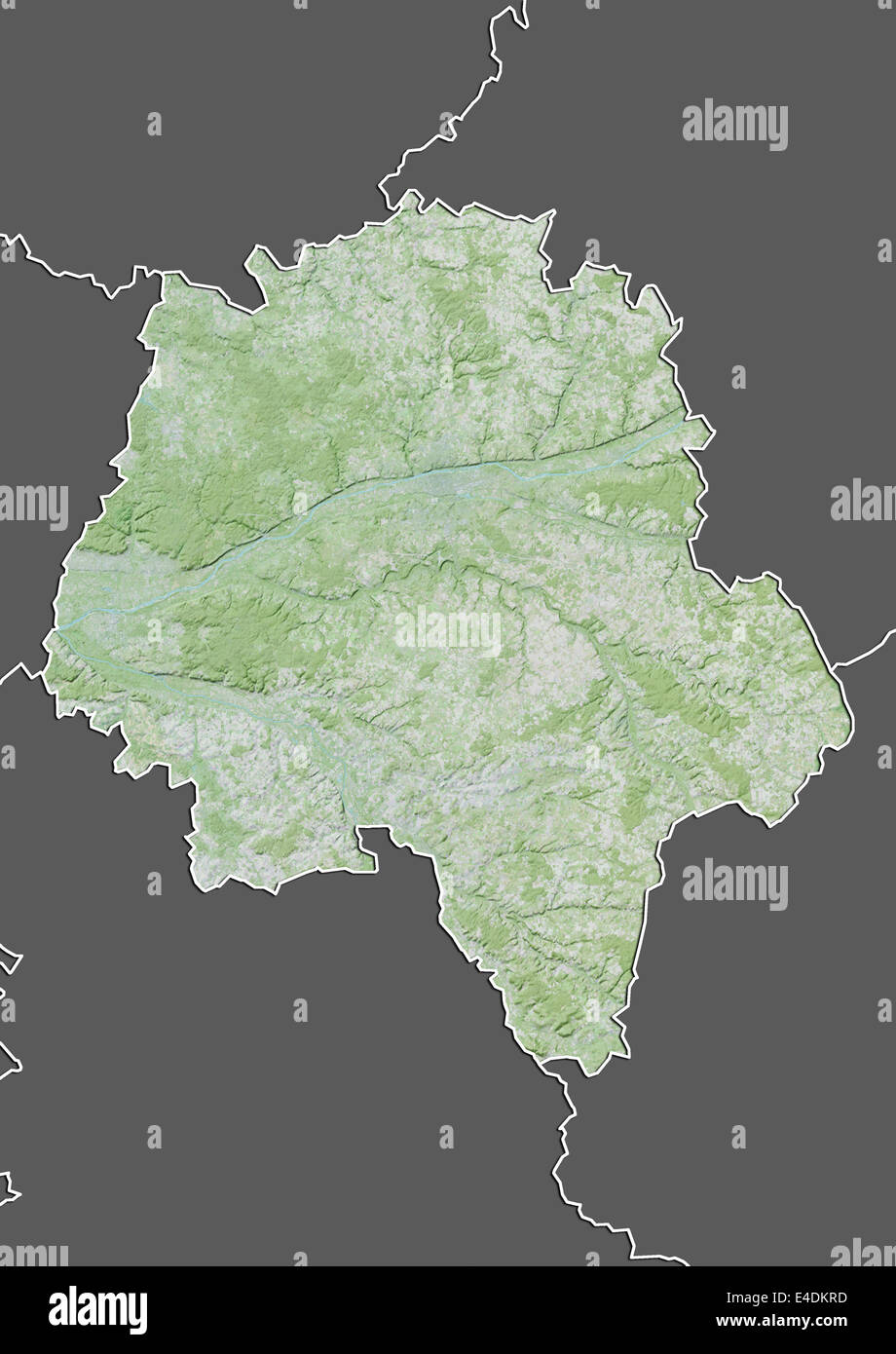
Departement of Indre-et-Loire, France, Relief Map
RMID:Image ID:E4DKRD
Image details
Contributor:
Universal Images Group North America LLC / Alamy Stock PhotoImage ID:
E4DKRDFile size:
49.8 MB (1.6 MB Compressed download)Releases:
Model - no | Property - noDo I need a release?Dimensions:
3511 x 4961 px | 29.7 x 42 cm | 11.7 x 16.5 inches | 300dpiDate taken:
12 June 2012Photographer:
Planet ObserverMore information:
This image could have imperfections as it’s either historical or reportage.
Relief map of the departement of Indre-et-Loire, France. It is home of numerous castles located in the Loire valley. This image was compiled from data acquired by LANDSAT 5 & 7 satellites combined with elevation data.