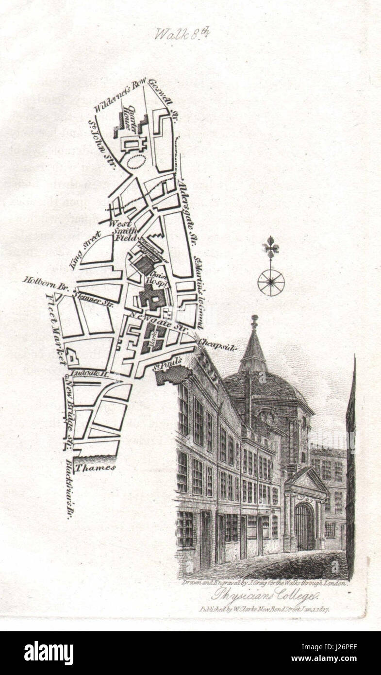
City of London Smithfield Farringdon Blackfriars St Paul's Barts EC1/4 1817 map
RFID:Image ID:J26PEF
Image details
Contributor:
Antiqua Print Gallery / Alamy Stock PhotoImage ID:
J26PEFFile size:
5.3 MB (328.3 KB Compressed download)Releases:
Model - no | Property - noDo I need a release?Dimensions:
1060 x 1755 px | 17.9 x 29.7 cm | 7.1 x 11.7 inches | 150dpiDate taken:
1817Location:
LondonMore information:
This image could have imperfections as it’s either historical or reportage.
Artist/engraver/cartographer: J. Greig. Provenance: "Walks through London, including Westminster and the Borough of Southwark, with the surrounding suburbs", by David Hughson, printed for Sherwood, Neely & Jones, Paternoster Square, London. The British Library considers Hughson to be a pseudonym and ascribes it to David Pugh. [Walks through London]. Type: Antique engraved map. The map includes West Smithfields, St Bartholomew's Hospital, Newgate Street, St Paul's Cathedral, the Charterhouse, Goswell Street, St John Street.