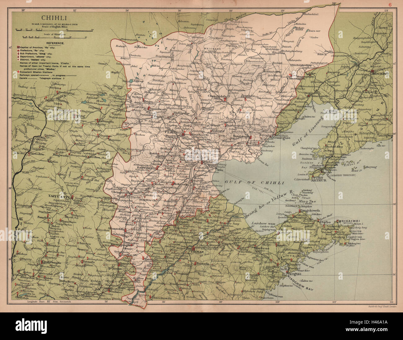
Chihli (Hebei) China province map. Peking/Beijing Tientsin/Tianjin STANFORD 1908
RFID:Image ID:H46A1A
Image details
Contributor:
Antiqua Print Gallery / Alamy Stock PhotoImage ID:
H46A1AFile size:
55.2 MB (4.2 MB Compressed download)Releases:
Model - no | Property - noDo I need a release?Dimensions:
4987 x 3870 px | 42.2 x 32.8 cm | 16.6 x 12.9 inches | 300dpiDate taken:
1908Location:
ChinaMore information:
This image could have imperfections as it’s either historical or reportage.
'Chihli [Hebei]'. Artist/engraver/cartographer: Stanford's Geographical Establishment, London. Provenance: "Atlas of the Chinese Empire"; Prepared by Mr. Edward Stanford for the China Inland Mission, Published by Morgan & Scott, Ltd., London. Type: Antique colour map; 1: 3, 000, 000. Chihli (Hebei) China province map by Edward Stanford. Peking (Beijing) & Tientsin (Tianjin). The Grand Canal, The Great Wall of China, and Protestant Mission Stations are marked on the map