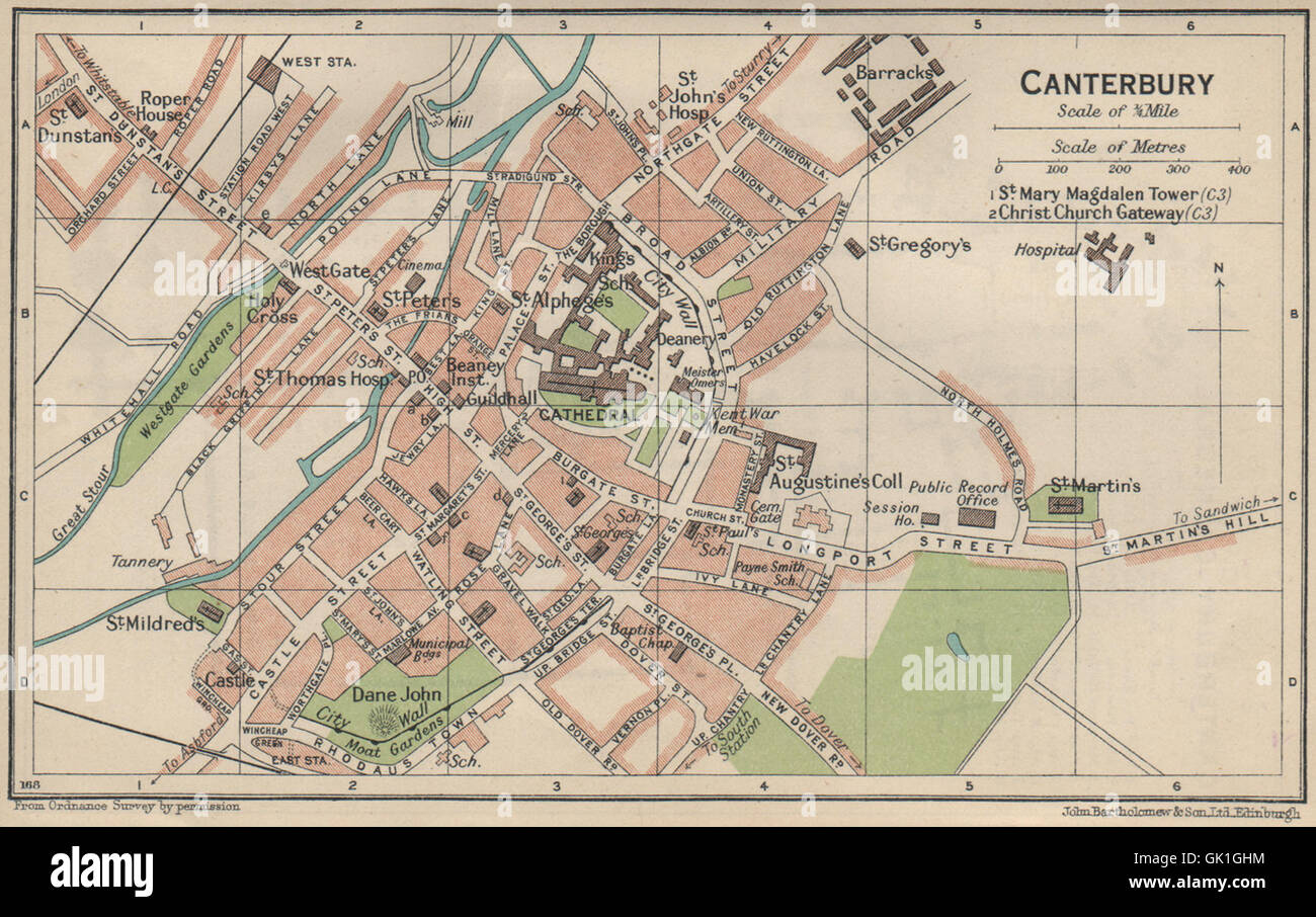
CANTERBURY. Vintage town city map plan. Kent, 1939
RFID:Image ID:GK1GHM
Image details
Contributor:
Antiqua Print Gallery / Alamy Stock PhotoImage ID:
GK1GHMFile size:
5.4 MB (475.8 KB Compressed download)Releases:
Model - no | Property - noDo I need a release?Dimensions:
1735 x 1090 px | 29.4 x 18.5 cm | 11.6 x 7.3 inches | 150dpiDate taken:
1939Location:
KentMore information:
This image could have imperfections as it’s either historical or reportage.
'Canterbury'. Artist/engraver/cartographer: John Bartholomew & Son. Provenance: "The Blue Guides England"; edited by L. Russell Muirhead, published by Ernest Benn Limited, London. 4th edition. Type: Vintage colour travel map.