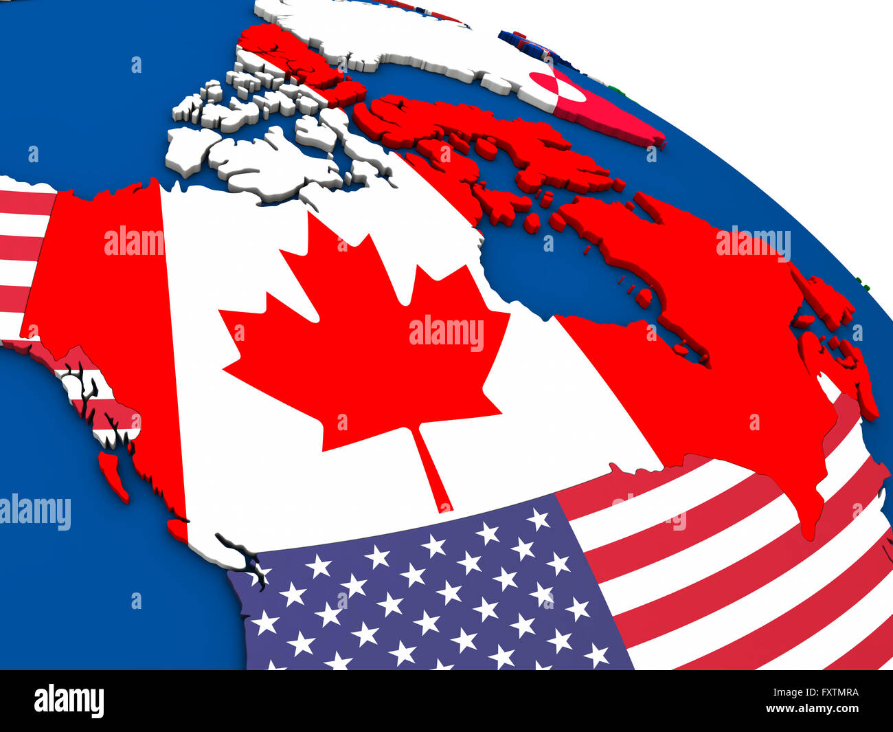
Canada - political map of Canada and surrounding region with each country represented by its national flag. 3D Illustration.
RFID:Image ID:FXTMRA
Image details
Contributor:
Tomas Griger / Alamy Stock PhotoImage ID:
FXTMRAFile size:
53.6 MB (840.1 KB Compressed download)Releases:
Model - no | Property - noDo I need a release?Dimensions:
5000 x 3750 px | 42.3 x 31.8 cm | 16.7 x 12.5 inches | 300dpi