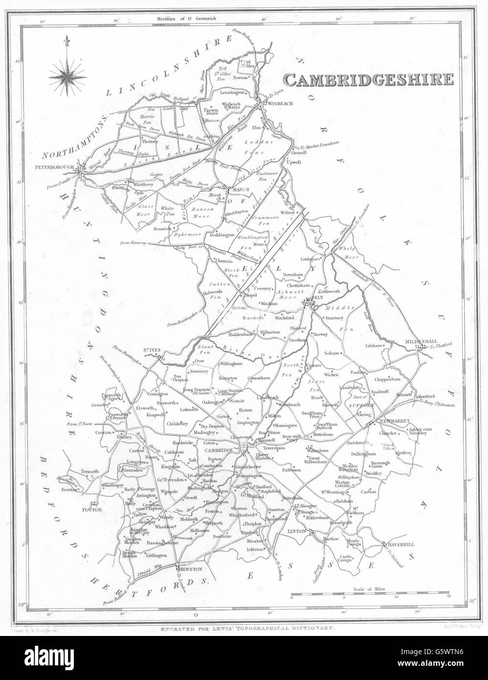
CAMBRIDGESHIRE: Cambs. Lewis, 1844 antique map
RFID:Image ID:G5WTN6
Image details
Contributor:
Antiqua Print Gallery / Alamy Stock PhotoImage ID:
G5WTN6File size:
17.2 MB (569.8 KB Compressed download)Releases:
Model - no | Property - noDo I need a release?Dimensions:
2148 x 2797 px | 18.2 x 23.7 cm | 7.2 x 9.3 inches | 300dpiDate taken:
1844Location:
CambridgeshireMore information:
This image could have imperfections as it’s either historical or reportage.
'Cambridgeshire'. Artist/engraver/cartographer: Engraved by J & C Walker; Drawn by R. Creighton. Provenance: "A Topographical Dictionary of England with Historical and Statistical Descriptions", by Samuel Lewis; Published by S. Lewis and Co., London. Type: Antique engraved map.