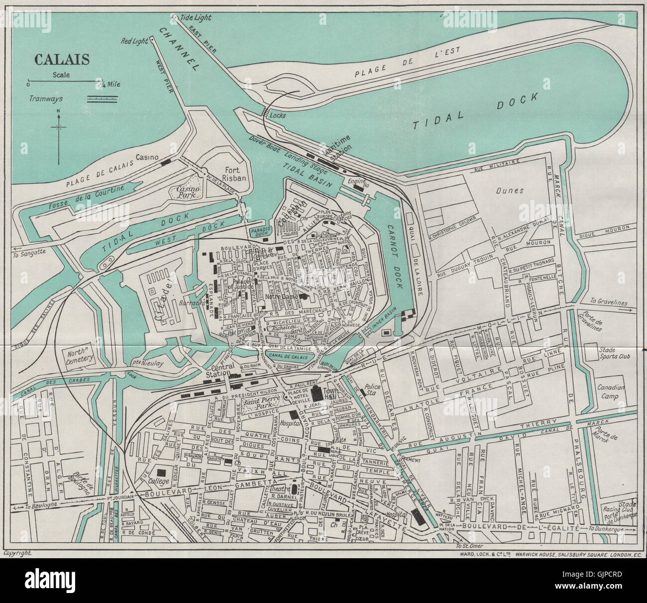
CALAIS vintage town/city plan. Pas-de-Calais. WARD LOCK, 1938 vintage map
RFID:Image ID:GJPCRD
Image details
Contributor:
Antiqua Print Gallery / Alamy Stock PhotoImage ID:
GJPCRDFile size:
20.4 MB (1.4 MB Compressed download)Releases:
Model - no | Property - noDo I need a release?Dimensions:
2876 x 2483 px | 24.4 x 21 cm | 9.6 x 8.3 inches | 300dpiDate taken:
1938Location:
Pas-de-CalaisMore information:
This image could have imperfections as it’s either historical or reportage.
'Calais'. Artist/engraver/cartographer: Unsigned. Provenance: "A pictorial and descriptive guide to Folkestone, Sandgate, Hythe, Dymchurch, new Romney, Littlestone-On Sea, Rye, etc."; published by Ward, Lock and Co., Limited, London: 9th Edition. Type: Vintage colour tourist map.