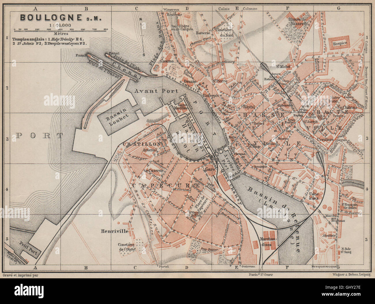
BOULOGNE-SUR-MER town city plan de la ville. Pas-de-Calais carte, 1907 old map
RFID:Image ID:GHY27E
Image details
Contributor:
Antiqua Print Gallery / Alamy Stock PhotoImage ID:
GHY27EFile size:
12.6 MB (1.2 MB Compressed download)Releases:
Model - no | Property - noDo I need a release?Dimensions:
2434 x 1806 px | 41.2 x 30.6 cm | 16.2 x 12 inches | 150dpiDate taken:
1907Location:
Pas-de-CalaisMore information:
This image could have imperfections as it’s either historical or reportage.
'Boulogne-sur-Mer'. Artist/engraver/cartographer: Wagner & Debes. Provenance: "Paris and environs with routes from London to Paris"; by Karl Baedeker, Published by Karl Baedeker, London: 16th Edition. Type: Antique colour map; Scale 1:16, 000.