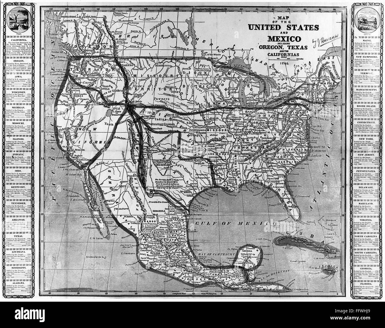
AMERICA AND MEXICO, 1846. /nAmerican 'Map of the United States and Mexico, including Oregon, Texas and the Californias,' 1846, before the Mexican War.
RMID:Image ID:FFWHJ9
Image details
Contributor:
GRANGER - Historical Picture Archive / Alamy Stock PhotoImage ID:
FFWHJ9File size:
23.6 MB (2.4 MB Compressed download)Releases:
Model - no | Property - noDo I need a release?Dimensions:
3240 x 2542 px | 27.4 x 21.5 cm | 10.8 x 8.5 inches | 300dpiPhotographer:
Granger, NYC.More information:
This image could have imperfections as it’s either historical or reportage.