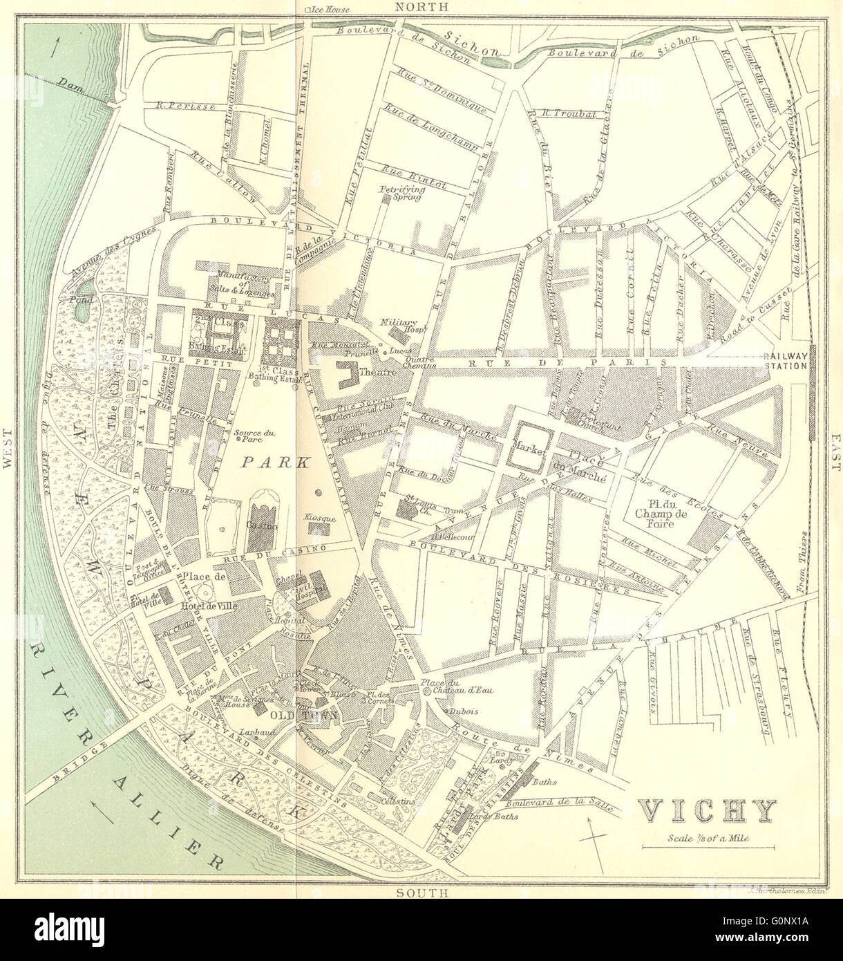
ALLIER: Vichy, 1899 antique map
RFID:Image ID:G0NX1A
Image details
Contributor:
Antiqua Print Gallery / Alamy Stock PhotoImage ID:
G0NX1AFile size:
9.4 MB (720.9 KB Compressed download)Releases:
Model - no | Property - noDo I need a release?Dimensions:
1755 x 1869 px | 29.7 x 31.6 cm | 11.7 x 12.5 inches | 150dpiDate taken:
1899Location:
AllierMore information:
This image could have imperfections as it’s either historical or reportage.
'Vichy'. Artist/engraver/cartographer: Engraved by John Bartholomew & Co. Edinr. Provenance: "The South of France East Half Part II, by C. B. Black"; Published by Adam and Charles, London. 5th Edition. Type: Colour antique map.