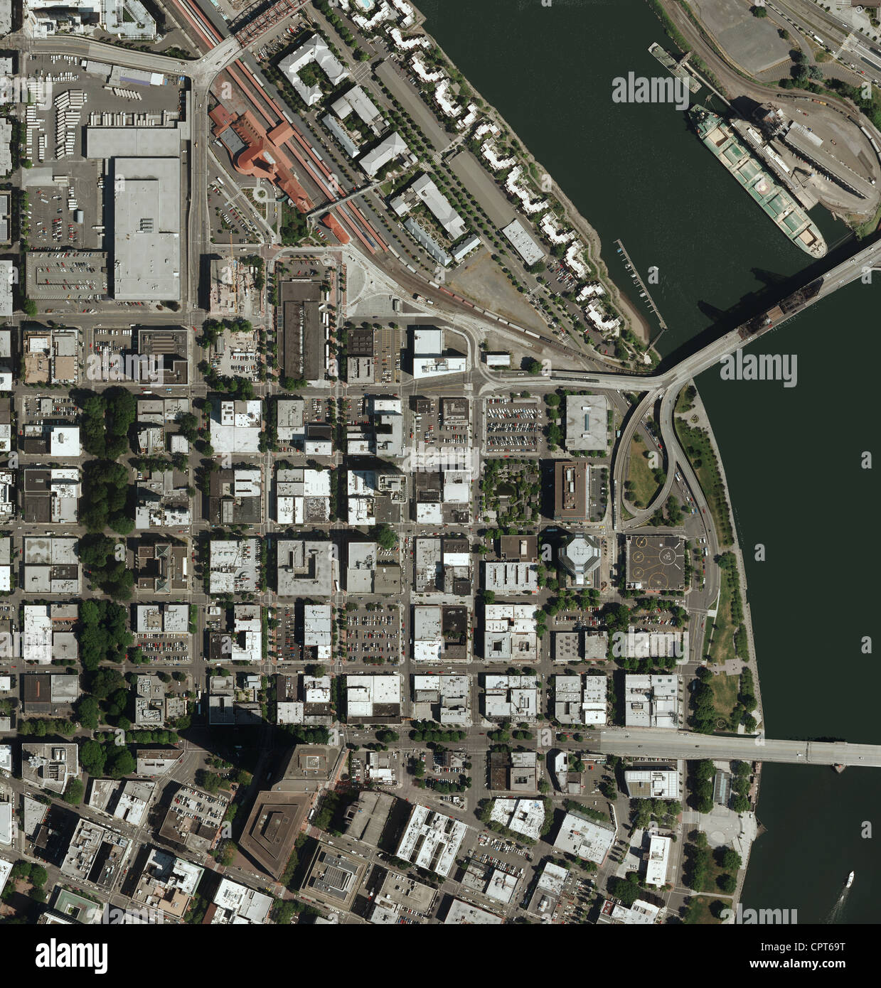
aerial photo map of Portland, Oregon
RMID:Image ID:CPT69T
Image details
Contributor:
Aerial Archives / Alamy Stock PhotoImage ID:
CPT69TFile size:
108 MB (7.9 MB Compressed download)Releases:
Model - no | Property - noDo I need a release?Dimensions:
6000 x 6292 px | 50.8 x 53.3 cm | 20 x 21 inches | 300dpiDate taken:
2010Location:
Portland, Oregon USAPhotographer:
aerialarchives.comMore information:
aerial photo map of Portland, Oregon