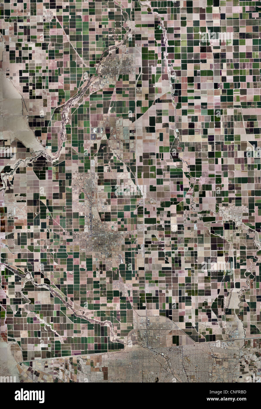
aerial photo map of Imperial Valley from Salton Sea to California Mexican border
RMID:Image ID:CNFRBD
Image details
Contributor:
Aerial Archives / Alamy Stock PhotoImage ID:
CNFRBDFile size:
25.3 MB (2.6 MB Compressed download)Releases:
Model - no | Property - noDo I need a release?Dimensions:
2461 x 3600 px | 20.8 x 30.5 cm | 8.2 x 12 inches | 300dpiDate taken:
2010Location:
Imperial Valley from Salton Sea to California Mexican borderPhotographer:
aerialarchives.comMore information:
aerial photo map of Imperial Valley from Salton Sea to California Mexican border