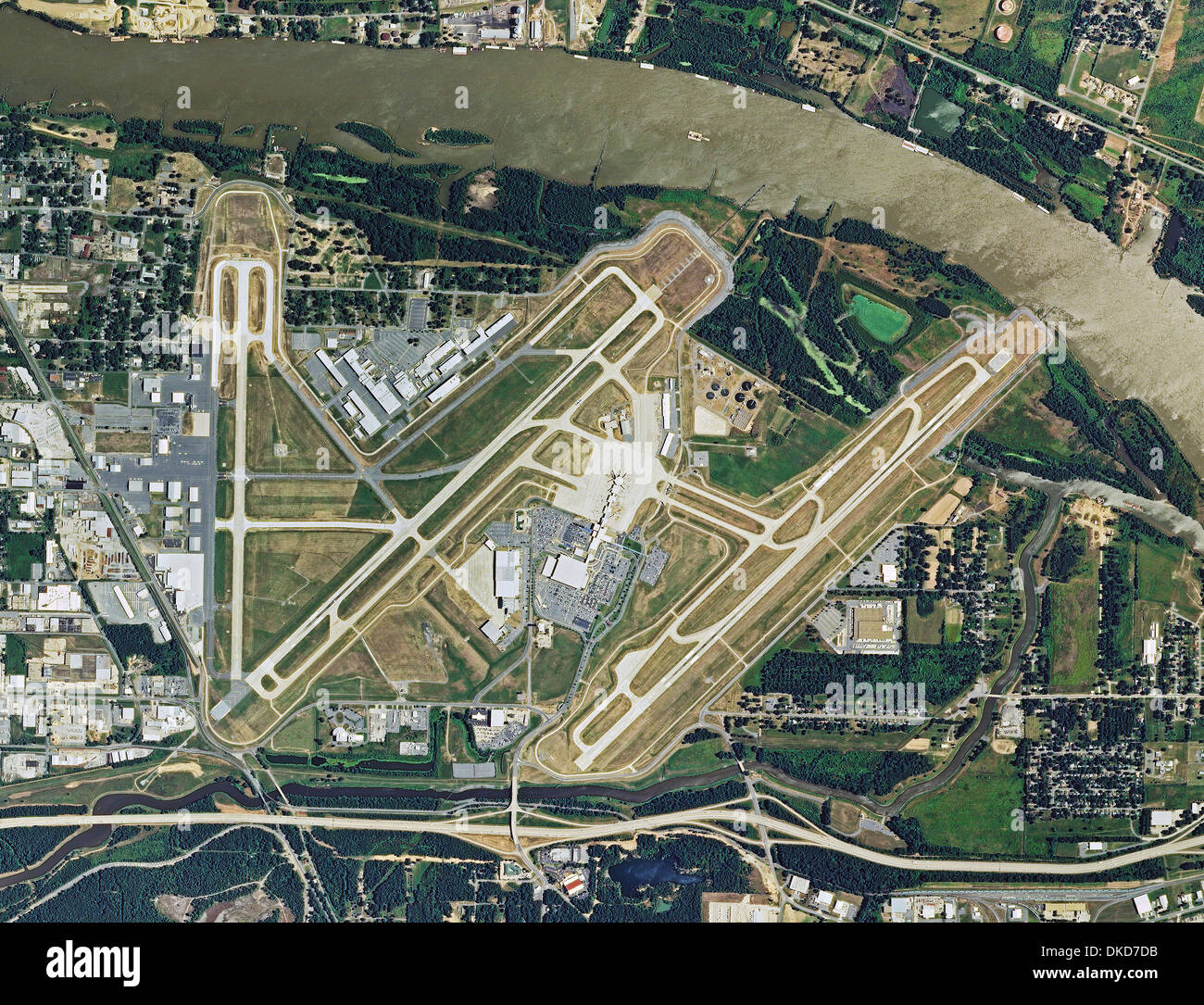
aerial photo map of Bill and Hillary Clinton National Airport, Adams Field, Little Rock, Arkansas
RMID:Image ID:DKD7DB
Image details
Contributor:
Aerial Archives / Alamy Stock PhotoImage ID:
DKD7DBFile size:
28.4 MB (4 MB Compressed download)Releases:
Model - no | Property - noDo I need a release?Dimensions:
3600 x 2756 px | 30.5 x 23.3 cm | 12 x 9.2 inches | 300dpiDate taken:
2010Location:
Little Rock, ArkansasPhotographer:
aerialarchives.comMore information:
aerial photo map of Bill and Hillary Clinton National Airport, Adams Field, Little Rock, Arkansas