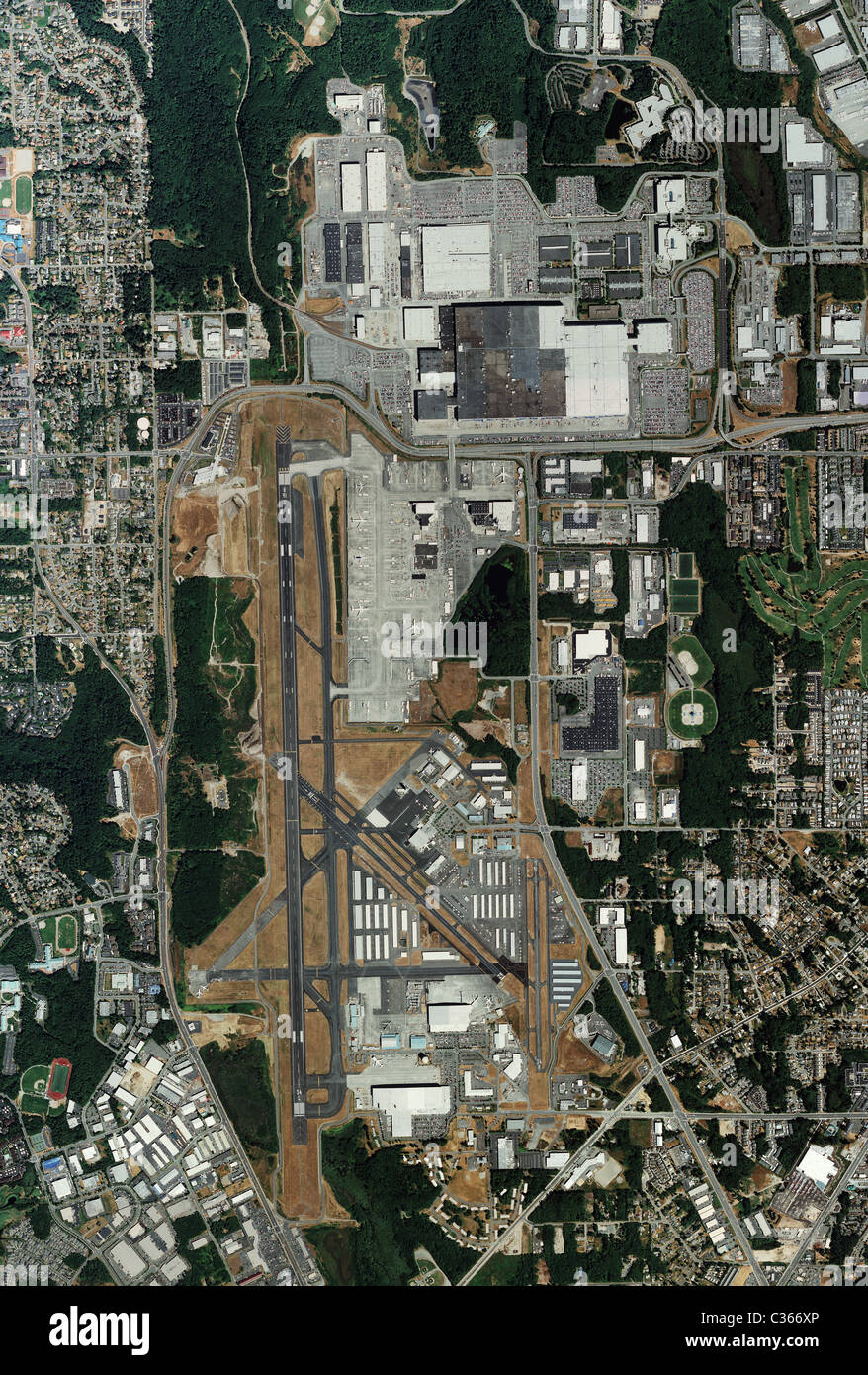
aerial map view Boeing Everett Factory and Paine Field airport
RMID:Image ID:C366XP
Image details
Contributor:
Aerial Archives / Alamy Stock PhotoImage ID:
C366XPFile size:
76.7 MB (8.1 MB Compressed download)Releases:
Model - no | Property - noDo I need a release?Dimensions:
4257 x 6300 px | 36 x 53.3 cm | 14.2 x 21 inches | 300dpiLocation:
Everett WashingtonPhotographer:
aerialarchives.comMore information:
aerial map view Boeing Everett Factory and Paine Field airport world's largest building by volume