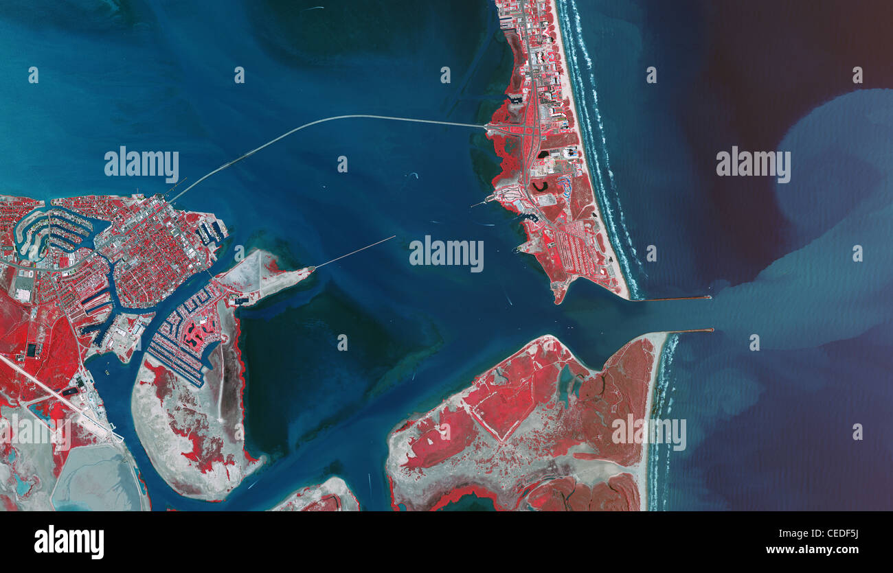
aerial infrared photo map Port Isabel Padre Island Port Brownsville ship channel Texas
RMID:Image ID:CEDF5J
Image details
Contributor:
Aerial Archives / Alamy Stock PhotoImage ID:
CEDF5JFile size:
71.4 MB (3.7 MB Compressed download)Releases:
Model - no | Property - noDo I need a release?Dimensions:
6600 x 3783 px | 55.9 x 32 cm | 22 x 12.6 inches | 300dpiDate taken:
2010Location:
Port Isabel Padre Island Texas USAPhotographer:
aerialarchives.comMore information:
aerial infrared photo map Port Isabel Padre Island Port Brownsville ship channel Texas