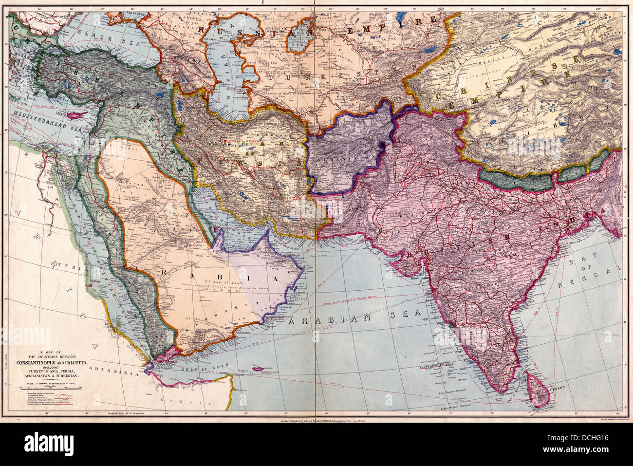
A map of the countries between Constantinople and Calcutta : including Turkey in Asia, Persia, Afghanistan and Turkestan. 1912
RMID:Image ID:DCHG16
Image details
Contributor:
Niday Picture Library / Alamy Stock PhotoImage ID:
DCHG16File size:
88.3 MB (10.1 MB Compressed download)Releases:
Model - no | Property - noDo I need a release?Dimensions:
6800 x 4538 px | 57.6 x 38.4 cm | 22.7 x 15.1 inches | 300dpiMore information:
This image could have imperfections as it’s either historical or reportage.