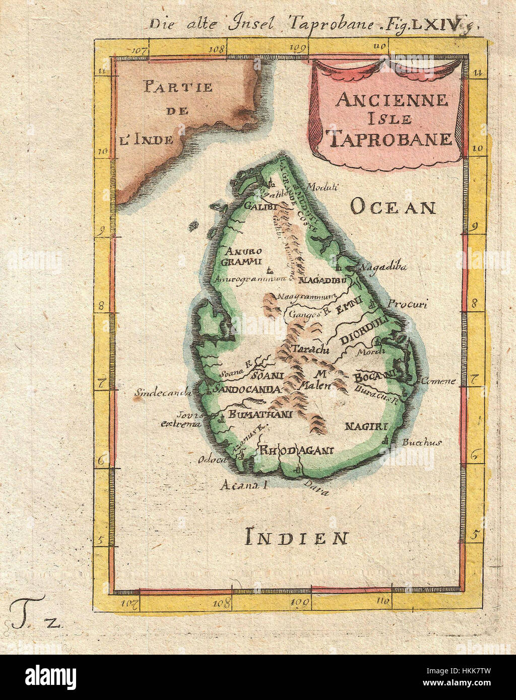
1686 Mallet Map of Ceylon or Sri Lanka (Taprobane) - Geographicus - Taprobane-mallet-1686
RMID:Image ID:HKK7TW
Image details
Contributor:
ART Collection / Alamy Stock PhotoImage ID:
HKK7TWFile size:
7.1 MB (800 KB Compressed download)Releases:
Model - no | Property - noDo I need a release?Dimensions:
1403 x 1781 px | 23.8 x 30.2 cm | 9.4 x 11.9 inches | 150dpiMore information:
This image is a public domain image, which means either that copyright has expired in the image or the copyright holder has waived their copyright. Alamy charges you a fee for access to the high resolution copy of the image.
This image could have imperfections as it’s either historical or reportage.