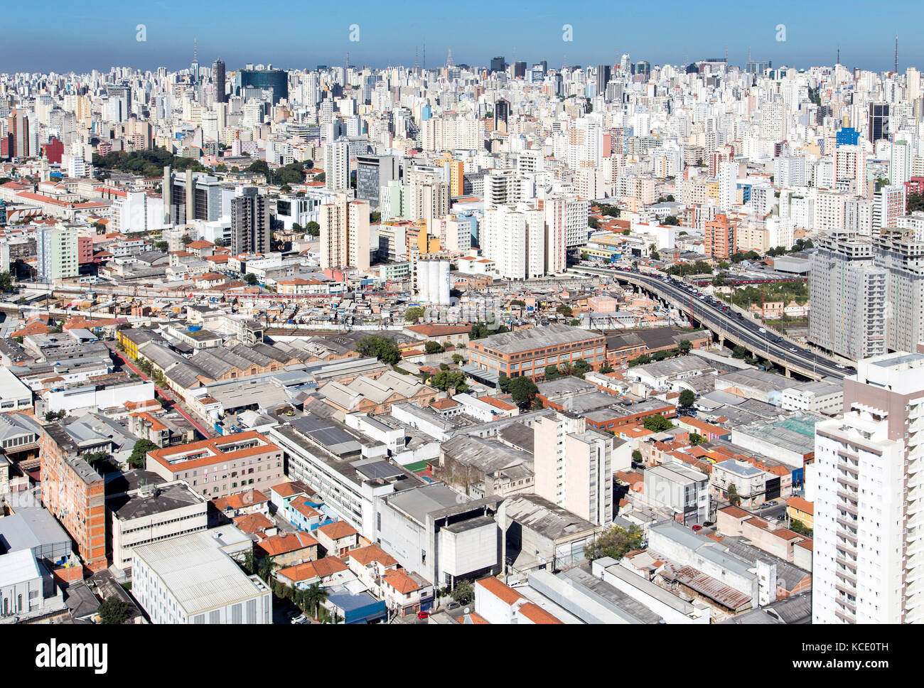
aerial view of sao paulo downton
RFID:Image ID:KCE0TH
Image details
Contributor:
Fernando Stankuns / Alamy Stock PhotoImage ID:
KCE0THFile size:
50.4 MB (4 MB Compressed download)Releases:
Model - no | Property - noDo I need a release?Dimensions:
5106 x 3449 px | 43.2 x 29.2 cm | 17 x 11.5 inches | 300dpiDate taken:
30 June 2015Location:
Alameda Eduardo Prado, 134 - Campos Elíseos, São Paulo - SP, BrasilMore information:
Aerial view taken from a helicopter flight in the city of São Paulo, Brazil. In the center of the image you can see the Favela do Moinho (slum), in the lower part, the neighborhood of Barra Funda, on the top Avenida Paulista, and at left downtown city.