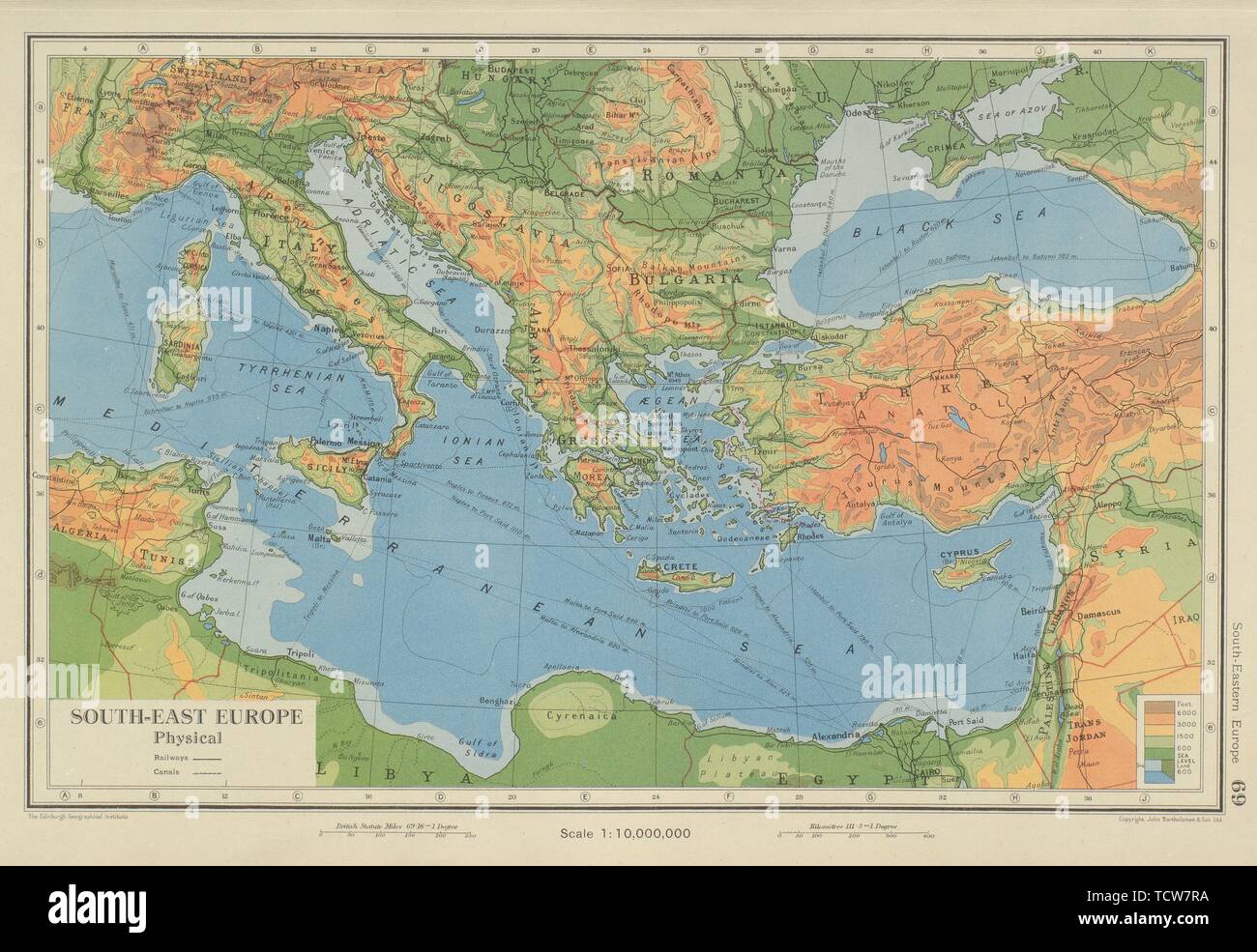
South Eastern EUROPE Eastern Mediterranean. Balkans Greece Turkey Italy 1947 map
RFID:Image ID:TCW7RA
Image details
Contributor:
Antiqua Print Gallery / Alamy Stock PhotoImage ID:
TCW7RAFile size:
56.4 MB (3.5 MB Compressed download)Releases:
Model - no | Property - noDo I need a release?Dimensions:
5350 x 3686 px | 45.3 x 31.2 cm | 17.8 x 12.3 inches | 300dpiDate taken:
1947More information:
This image could have imperfections as it’s either historical or reportage.
South-East Europe Physical. Artist/engraver/cartographer: John Bartholomew & Son. Provenance: "The Citizen's Atlas of the World"; by John Bartholomew, Published by John Bartholomew & Son Limited, London: 9th Edition. Type: Vintage colour atlas map.