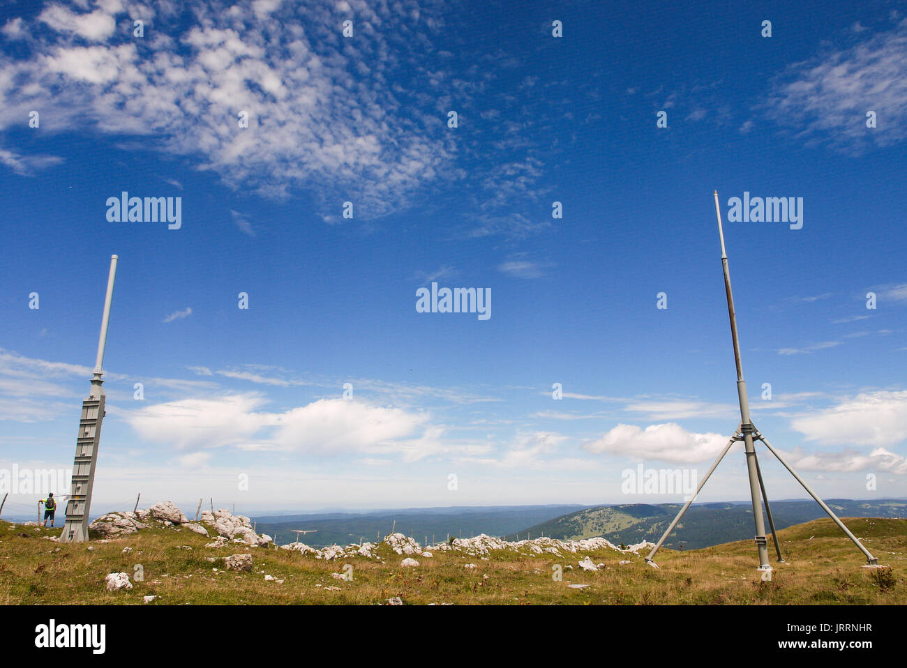
Skyguide aerial radar station, settled on the summit of the Dôle mountain, Jura (Swiss)
RMID:Image ID:JRRNHR
Image details
Contributor:
Serge Mouraret / Alamy Stock PhotoImage ID:
JRRNHRFile size:
30.6 MB (1.3 MB Compressed download)Releases:
Model - no | Property - noDo I need a release?Dimensions:
4000 x 2672 px | 33.9 x 22.6 cm | 13.3 x 8.9 inches | 300dpiDate taken:
29 July 2017Location:
Dôle mountain, Jura, SwissMore information:
DOLE MOUNTAIN, JURA, SWISS: A view shows the swiss radar station located on the Dôle summit (Jura). Mostly used for aerial navigation and meteorology, the station belongs to Skyguide society, in charge of swiss areial space survey and security. The radar can detect planes in a range of 280 kilometers and the electronic datas analyzed by the radar antenna located under the radome are transmited to the Center for Aerial Control, based at Geneva airport in order to be synthetized on a radar screen used by aerial controllers. This equipment is part of an european network garantying an optimal radar covering. The meteo radar belongs to Meteossuisse.