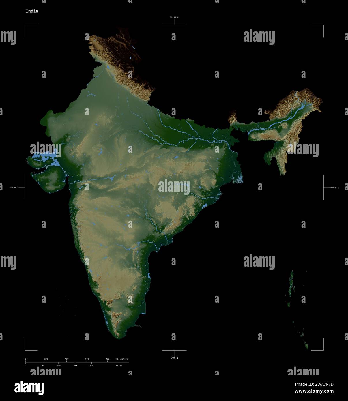
Shape of a Colored elevation map with lakes and rivers of the India, with distance scale and map border coordinates, isolated on black
RFID:Image ID:2WA7P7D
Image details
Contributor:
zelwankaImage ID:
2WA7P7DFile size:
51.2 MB (724.6 KB Compressed download)Releases:
Model - no | Property - noDo I need a release?Dimensions:
4074 x 4389 px | 34.5 x 37.2 cm | 13.6 x 14.6 inches | 300dpiLocation:
India