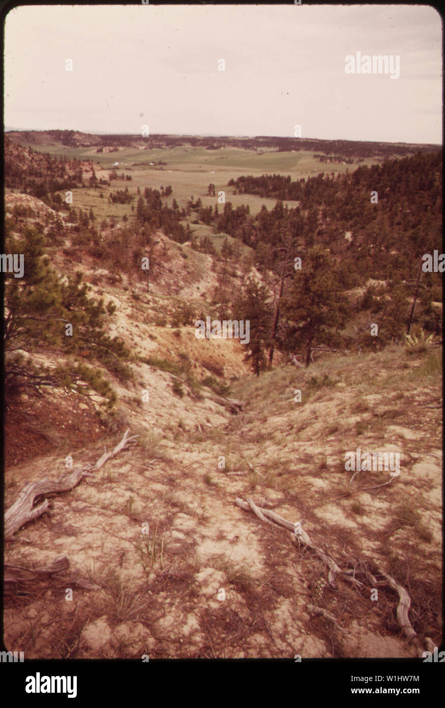
ROY FLY RANCH NEAR SARPY BASIN. CLOSE TO THE SURFACE OF THE 25,000 SQUARE MILE AREA, KNOWN AS THE POWDER BASIN, LIES THE LARGEST DEPOSIT OF LOW-SULPHUR COAL IN AMERICA. MANY RANCHERS, WHO OWN LAND IN THE AREA, ARE REFUSING TO SELL THEIR LAND TO THE COAL COMPANIES
RMID:Image ID:W1HW7M
Image details
Contributor:
Tango Images / Alamy Stock PhotoImage ID:
W1HW7MFile size:
71.5 MB (1.9 MB Compressed download)Releases:
Model - no | Property - noDo I need a release?Dimensions:
4103 x 6093 px | 34.7 x 51.6 cm | 13.7 x 20.3 inches | 300dpiMore information:
This image is a public domain image, which means either that copyright has expired in the image or the copyright holder has waived their copyright. Alamy charges you a fee for access to the high resolution copy of the image.
This image could have imperfections as it’s either historical or reportage.