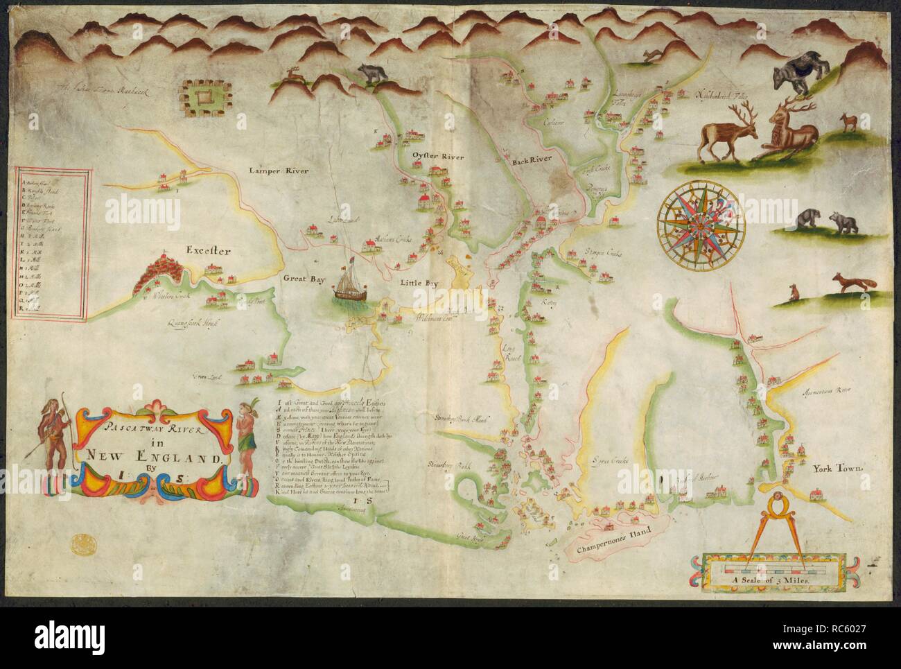
Pascatway River. A colored map of Pascatway River, in New England,. ca. 1670-1680. A map of the Pascatway River in New England. Image taken from A colored map of Pascatway River, in New England, by J.S.; drawn on vellum, on a scale of 1 inch to a mile possibly by John Scott ... Source: Maps.K.Top.120.27,. Language: English.
RMID:Image ID:RC6027
Image details
Contributor:
Album / British Library / Alamy Stock PhotoImage ID:
RC6027File size:
73 MB (3.2 MB Compressed download)Releases:
Model - no | Property - noDo I need a release?Dimensions:
6156 x 4146 px | 52.1 x 35.1 cm | 20.5 x 13.8 inches | 300dpiMore information:
This image could have imperfections as it’s either historical or reportage.