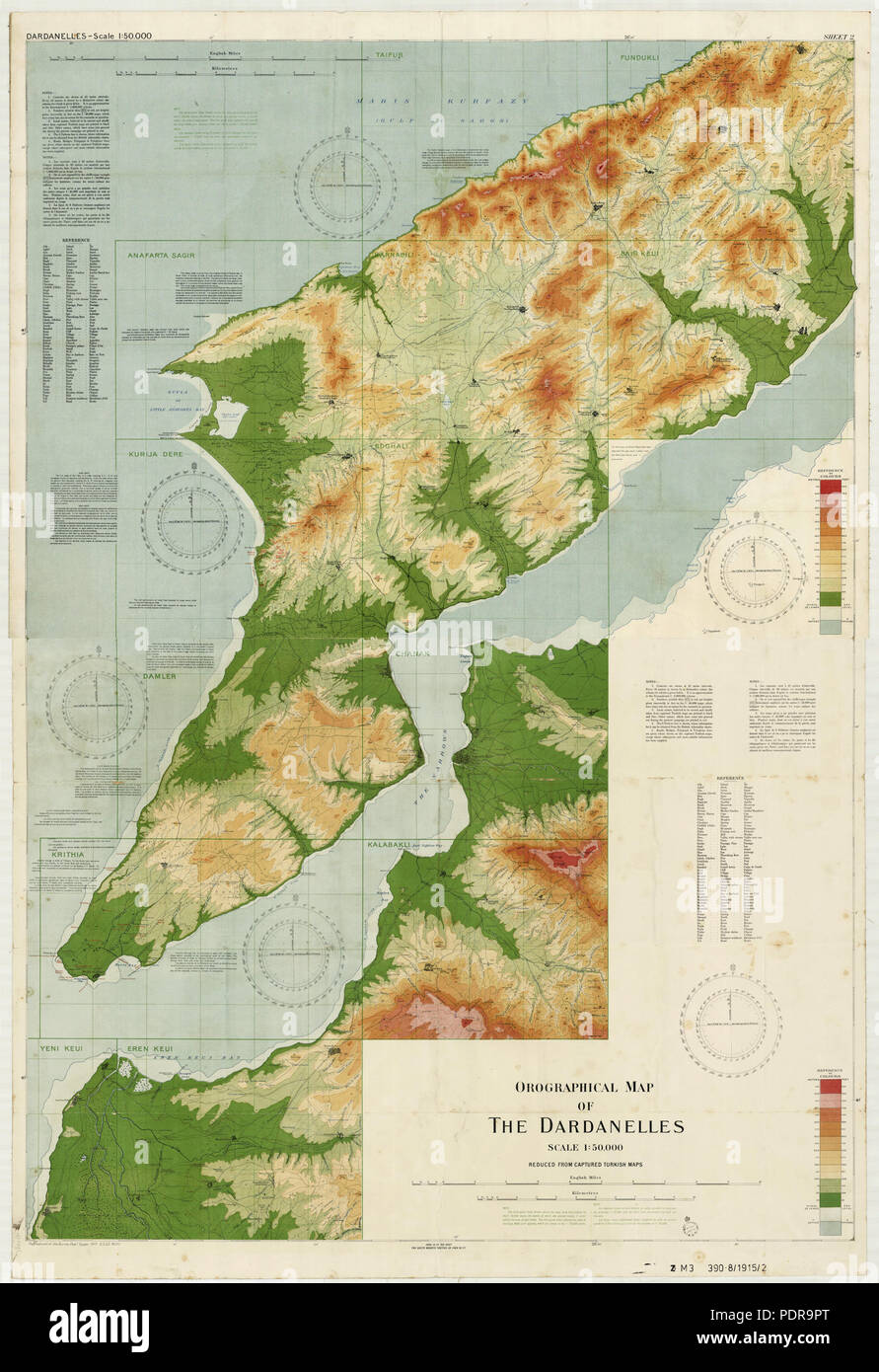
Orographical map of the Dardanelles prepared from captured Turkish map 93 Orographical map of the Dardanelles reduced from captured Turkish maps
RMID:Image ID:PDR9PT
Image details
Contributor:
History and Art Collection / Alamy Stock PhotoImage ID:
PDR9PTFile size:
14.3 MB (944.2 KB Compressed download)Releases:
Model - no | Property - noDo I need a release?Dimensions:
1851 x 2700 px | 15.7 x 22.9 cm | 6.2 x 9 inches | 300dpiMore information:
This image is a public domain image, which means either that copyright has expired in the image or the copyright holder has waived their copyright. Alamy charges you a fee for access to the high resolution copy of the image.
This image could have imperfections as it’s either historical or reportage.