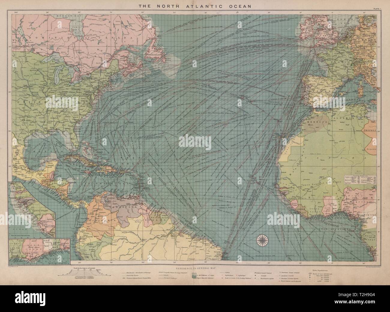
North Atlantic Ocean sea chart. Ports lighthouses mail routes. LARGE 1916 map
RFID:Image ID:T2H9G4
Image details
Contributor:
Antiqua Print Gallery / Alamy Stock PhotoImage ID:
T2H9G4File size:
137.2 MB (6.9 MB Compressed download)Releases:
Model - no | Property - noDo I need a release?Dimensions:
8102 x 5920 px | 68.6 x 50.1 cm | 27 x 19.7 inches | 300dpiDate taken:
1916Location:
AtlanticMore information:
This image could have imperfections as it’s either historical or reportage.
The North Atlantic Ocean; Inset French Guinea; Nigeria. Artist/engraver/cartographer: George Philip & Son Ltd. Provenance: "Philips' Mercantile Marine Atlas"; Edited By George Philip, Published by George Philip & Son, Ltd., London : 6th Edition. Type: Antique colour maritime map chart; Scale 1:20, 000, 000.