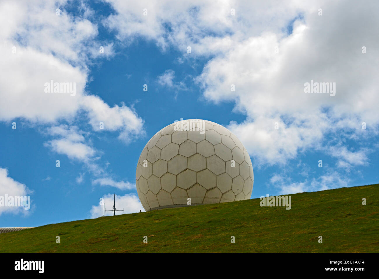
National Air Traffic Services radar station. Great Dun Fell, Cumbria, England, United Kingdom, Europe.
Image details
Contributor:
Stan Pritchard / Alamy Stock PhotoImage ID:
E1AX14File size:
50.6 MB (1.3 MB Compressed download)Releases:
Model - no | Property - noDo I need a release?Dimensions:
5150 x 3437 px | 43.6 x 29.1 cm | 17.2 x 11.5 inches | 300dpiDate taken:
21 May 2014Location:
National Air Traffic Services radar station. Great Dun Fell, Cumbria, England, United Kingdom, EuropMore information:
At a height of 2, 782 feet, Great Dun Fell is the second-highest hill in England's Pennines, lying two miles south along the watershed from Cross Fell, its higher neighbour. Together with its smaller twin, Little Dun Fell, it forms a stepping-stone for the Pennine Way on its long climb up from Dufton. At the summit, there is a radar station that is operated by National AirTraffic Services (NATS) and is a key part of the Air Traffic Control system for Northern England and Southern Scotland. A radome containing Primary Surveillance radar (PSR) and Secondary Surveillance Radar (SSR) antennae, various towers and fencing crown the summit. Alfred Wainwright abhorred the old radio station (removed in the 1980s) in his book Pennine Way Companion. The construction of the radar station led to the repaving of a tarred road to the summit, which became Britain's highest road. This road is marked as private from just above the village of Knock, and not open to public motor vehicles. However, it is a bridleway until shortly before the radar station, so it is open to walkers, cyclists and horseriders. There are the remains of hushing gulleys on the slopes of the mountain, created during lead mining of the industrial revolution.