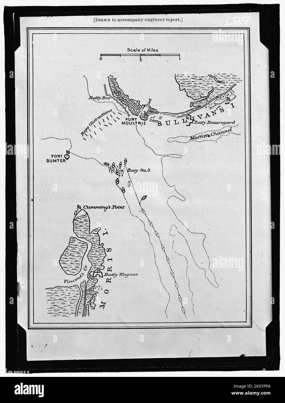
Map showing Fort Sumter and Fort Moultrie, between 1909 and 1914. 'Drawn to accompany engineer report'. Battle site, Charleston Harbour, South Carolina: Battery Bee, rope obstructions, Sullivan's Island, Maffitt's Channel, buoys, Cumming's Point, Vincent's Creek, Morris Island, Battery Wagner.
RMID:Image ID:2K07FPA
Image details
Contributor:
Heritage Image Partnership Ltd / Alamy Stock PhotoImage ID:
2K07FPAFile size:
226.7 MB (5.4 MB Compressed download)Releases:
Model - no | Property - noDo I need a release?Dimensions:
7741 x 10235 px | 65.5 x 86.7 cm | 25.8 x 34.1 inches | 300dpiPhotographer:
Heritage ImagesMore information:
This image could have imperfections as it’s either historical or reportage.