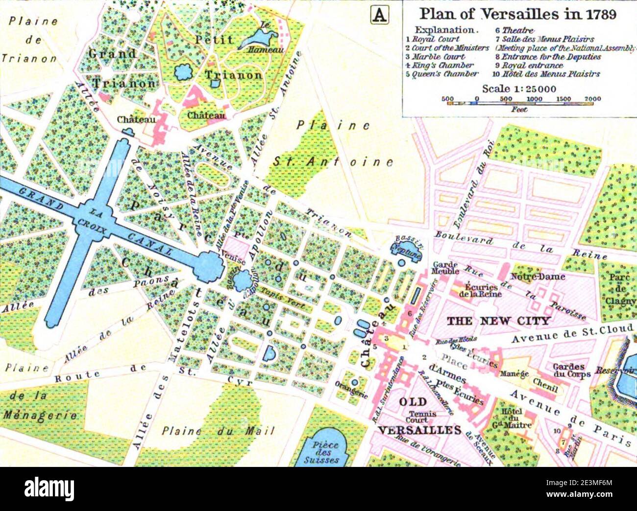
Map of Versailles in 1789 by William R Shepherd (died 1934).
RMID:Image ID:2E3MF6M
Image details
Contributor:
Jimlop collection / Alamy Stock PhotoImage ID:
2E3MF6MFile size:
5.7 MB (419.8 KB Compressed download)Releases:
Model - no | Property - noDo I need a release?Dimensions:
1651 x 1212 px | 28 x 20.5 cm | 11 x 8.1 inches | 150dpiDate taken:
5 August 2015More information:
This image could have imperfections as it’s either historical or reportage.