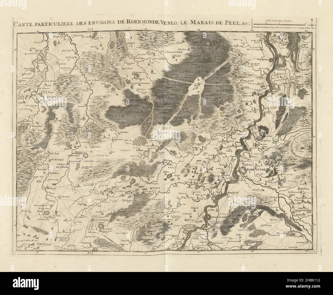
Map of the vicinity of Roermond and Venlo, 1709, Carte particuliere des environs de Roermonde, Venlo, le Marais de Peel, &c. (title on object), Map of the environs of Roermond and Venlo with the Peel, 1709. Part of a bundled collection of plans of battles and cities famous in the War of the Spanish Succession. This plate is among the first 24 plates that together form a very large map of the Southern Netherlands., print maker: Jacobus Harrewijn (mentioned on object), publisher: Eugene Henry Fricx (mentioned on object), Brussels, 1709, paper, etching, engraving, height 439 mm × width 565 mm
RMID:Image ID:2HB6112
Image details
Contributor:
Penta Springs Limited / Alamy Stock PhotoImage ID:
2HB6112File size:
56.4 MB (4.5 MB Compressed download)Releases:
Model - no | Property - noDo I need a release?Dimensions:
4908 x 4014 px | 41.6 x 34 cm | 16.4 x 13.4 inches | 300dpiPhotographer:
Penta SpringsMore information:
This image could have imperfections as it’s either historical or reportage.