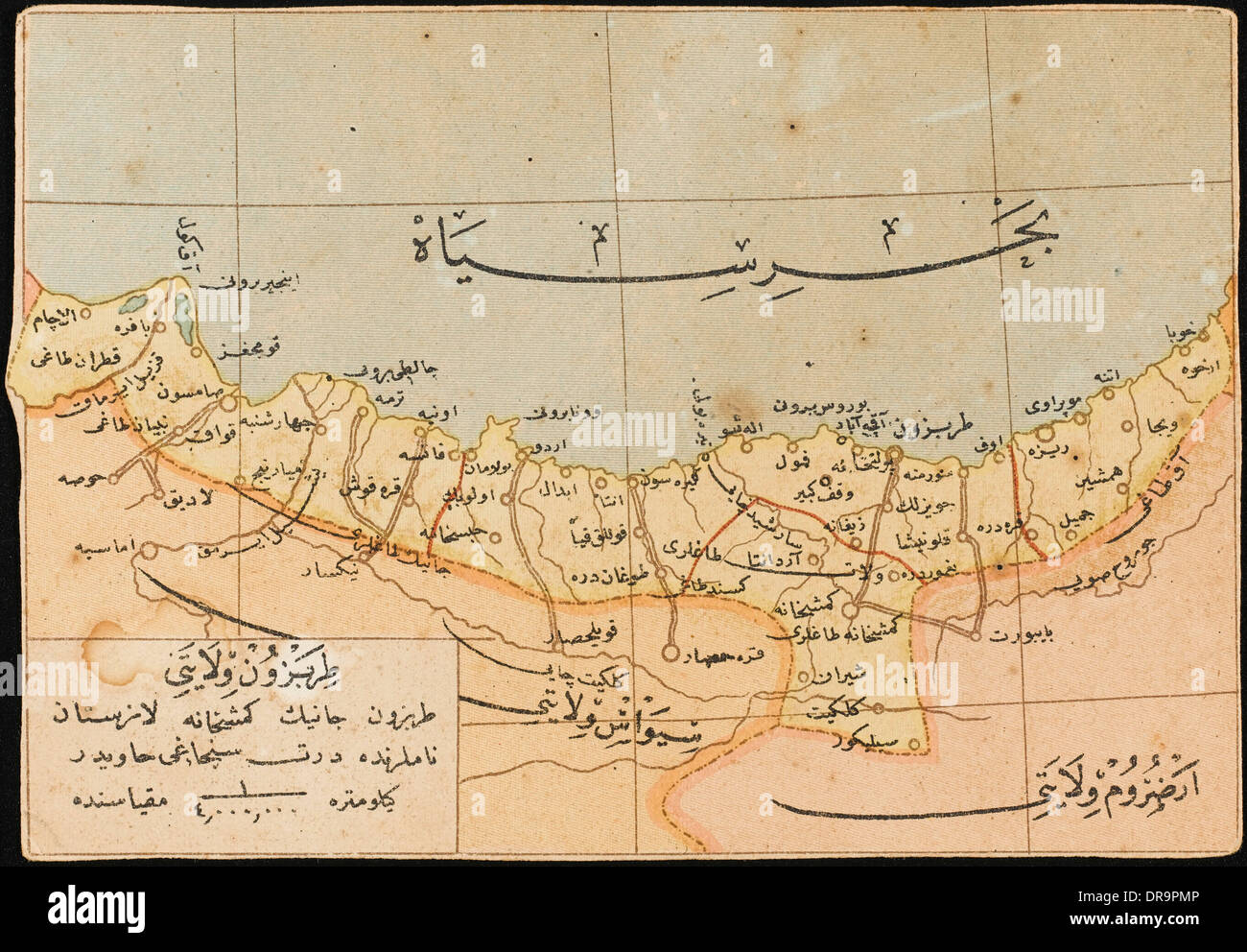
Map of the Trabzon Province
RMID:Image ID:DR9PMP
Image details
Contributor:
Chronicle / Alamy Stock PhotoImage ID:
DR9PMPFile size:
43 MB (2.4 MB Compressed download)Releases:
Model - no | Property - noDo I need a release?Dimensions:
4654 x 3230 px | 39.4 x 27.3 cm | 15.5 x 10.8 inches | 300dpiDate taken:
21 January 2010Photographer:
ChronicleMore information:
This image could have imperfections as it’s either historical or reportage.
Map showing the Trabzon Province on the Black Sea coast in north-eastern Turkey. The capital of the Province, Trabzon was located on the historic silk road route and during the Ottoman period, because of the importance of its port, Trabzon became a focal point of trade to Iran, India and the Caucasus. - Year: circa 1905