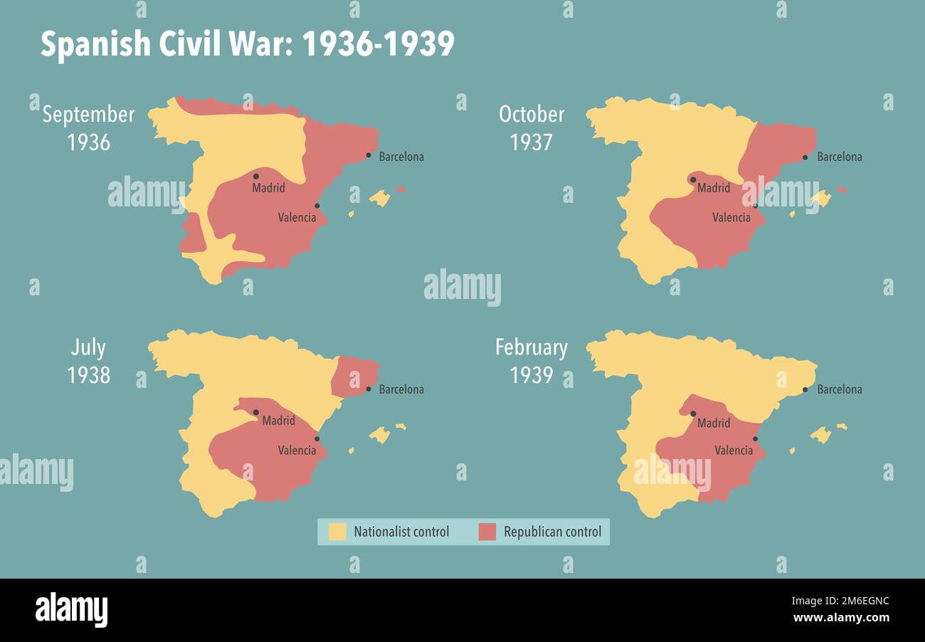
Map of the Spanish civil war and occupied territories between 1936 and 1939
RFID:Image ID:2M6EGNC
Image details
Contributor:
Dimitrios Karamitros / Alamy Stock PhotoImage ID:
2M6EGNCFile size:
18.3 MB (157.4 KB Compressed download)Releases:
Model - no | Property - noDo I need a release?Dimensions:
3200 x 2000 px | 27.1 x 16.9 cm | 10.7 x 6.7 inches | 300dpi