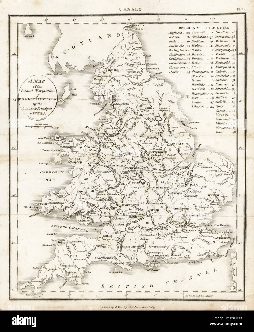
Map of the inland navigation of England and Wales by the canals and principal rivers, 1809. Copperplate engraving by Mutlow from John Mason Good's Pantologia, a New Encyclopedia, G. Kearsley, London, 1813.
RMID:Image ID:P9H833
Image details
Contributor:
Album / Alamy Stock PhotoImage ID:
P9H833File size:
95.2 MB (4.8 MB Compressed download)Releases:
Model - no | Property - noDo I need a release?Dimensions:
5215 x 6380 px | 44.2 x 54 cm | 17.4 x 21.3 inches | 300dpiPhotographer:
AlbumMore information:
This image could have imperfections as it’s either historical or reportage.