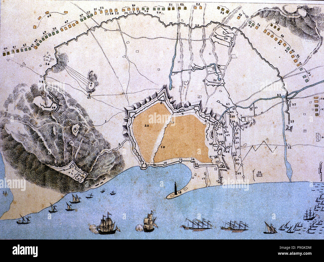
Map of the city of Barcelona during the siege of Philip V in 1714.
RMID:Image ID:P9GKDM
Image details
Contributor:
Heritage Image Partnership Ltd / Alamy Stock PhotoImage ID:
P9GKDMFile size:
50.7 MB (5.4 MB Compressed download)Releases:
Model - no | Property - noDo I need a release?Dimensions:
4900 x 3620 px | 41.5 x 30.6 cm | 16.3 x 12.1 inches | 300dpiDate taken:
30 November 1999Photographer:
Image/Index/Heritage ImagesMore information:
This image could have imperfections as it’s either historical or reportage.
Map of the city of Barcelona during the siege of Philip V in 1714.