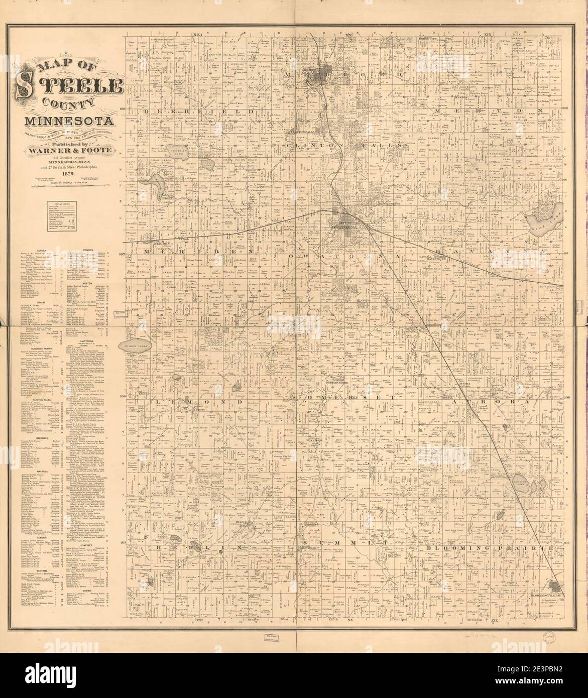
Map of Steele County, Minnesota - drawn from actual surveys and the county records.
RMID:Image ID:2E3PBN2
Image details
Contributor:
Jimlop collection / Alamy Stock PhotoImage ID:
2E3PBN2File size:
5.7 MB (482.5 KB Compressed download)Releases:
Model - no | Property - noDo I need a release?Dimensions:
1343 x 1490 px | 22.7 x 25.2 cm | 9 x 9.9 inches | 150dpiMore information:
This image could have imperfections as it’s either historical or reportage.