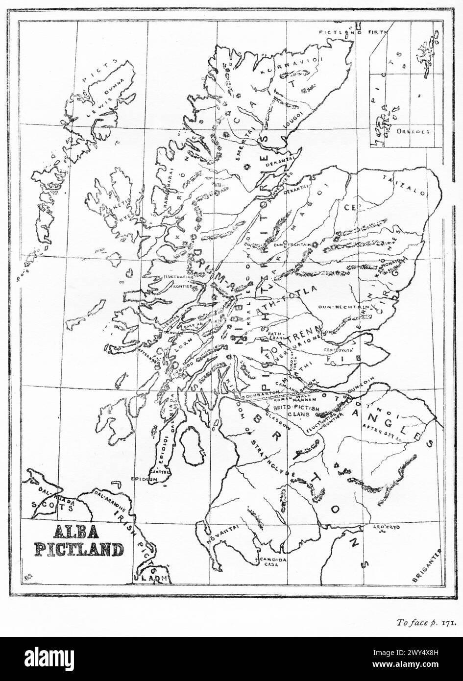
Map of Pictland or Scotland in the 6th Century, from The Pictish Nation by Archibald Scott, 1918
RMID:Image ID:2WY4X8H
Image details
Contributor:
Lakeview Images / Alamy Stock PhotoImage ID:
2WY4X8HFile size:
46.5 MB (2.1 MB Compressed download)Releases:
Model - no | Property - noDo I need a release?Dimensions:
3437 x 4724 px | 29.1 x 40 cm | 11.5 x 15.7 inches | 300dpiDate taken:
1926Location:
ScotlandMore information:
This image is a public domain image, which means either that copyright has expired in the image or the copyright holder has waived their copyright. Alamy charges you a fee for access to the high resolution copy of the image.
This image could have imperfections as it’s either historical or reportage.