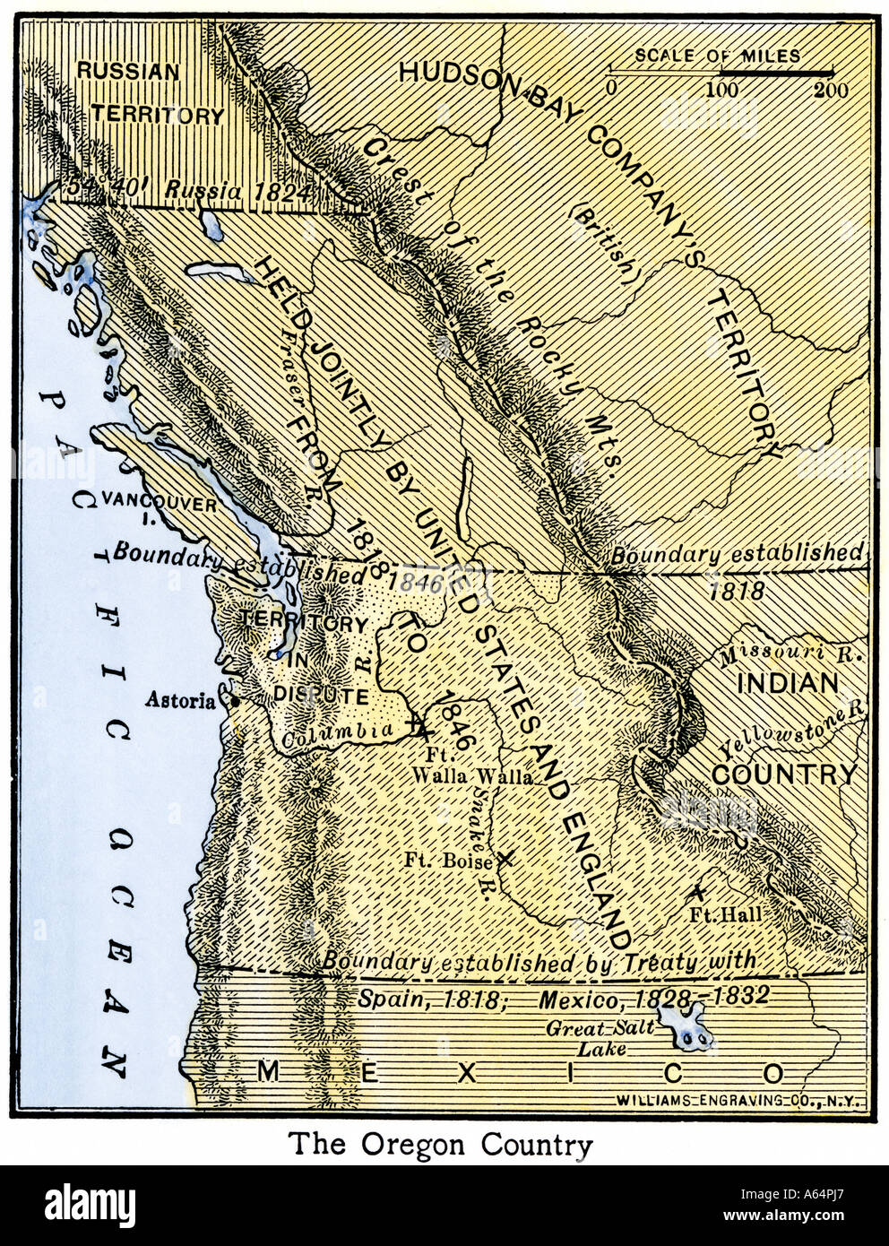
Map of Oregon Territory showing boundary of US with British Canada under dispute until 1846. Hand-colored woodcut
RMID:Image ID:A64PJ7
Image details
Contributor:
North Wind Picture Archives / Alamy Stock PhotoImage ID:
A64PJ7File size:
33.7 MB (3.5 MB Compressed download)Releases:
Model - no | Property - noDo I need a release?Dimensions:
2998 x 3926 px | 25.4 x 33.2 cm | 10 x 13.1 inches | 300dpiPhotographer:
North Wind Picture ArchivesMore information:
This image could have imperfections as it’s either historical or reportage.
Hand-colored woodcut of a 19th-century illustration