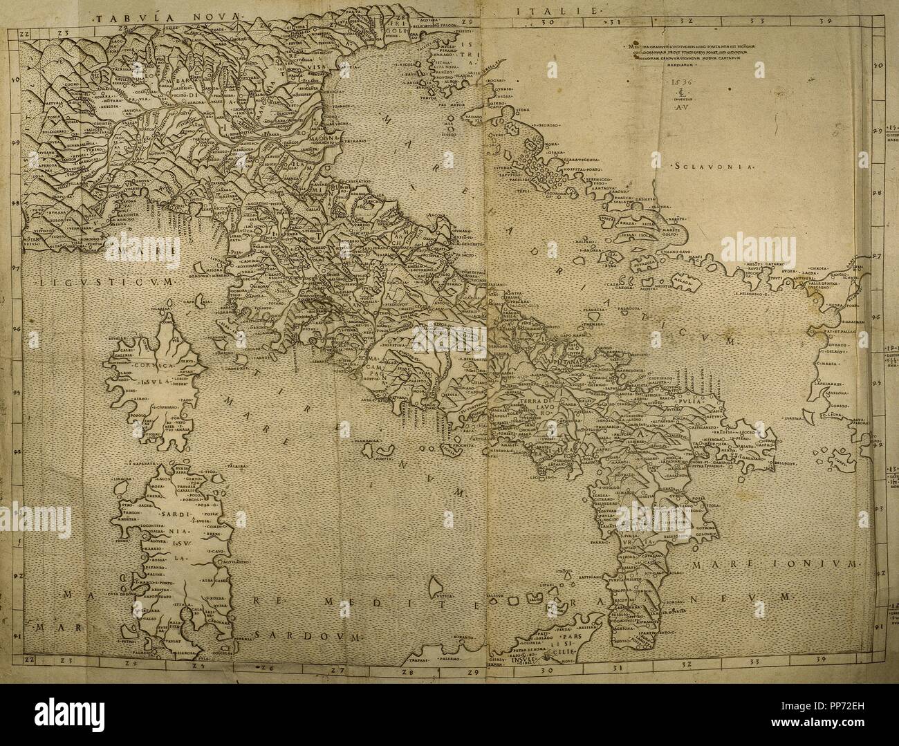
Map of Italian Peninsula, Islands of Corsica and Sardinia and Adriatic coast. Engraving. 16th century.
RMID:Image ID:PP72EH
Image details
Contributor:
Album / Alamy Stock PhotoImage ID:
PP72EHFile size:
70.9 MB (6.2 MB Compressed download)Releases:
Model - no | Property - noDo I need a release?Dimensions:
5706 x 4341 px | 48.3 x 36.8 cm | 19 x 14.5 inches | 300dpiPhotographer:
AlbumMore information:
This image could have imperfections as it’s either historical or reportage.