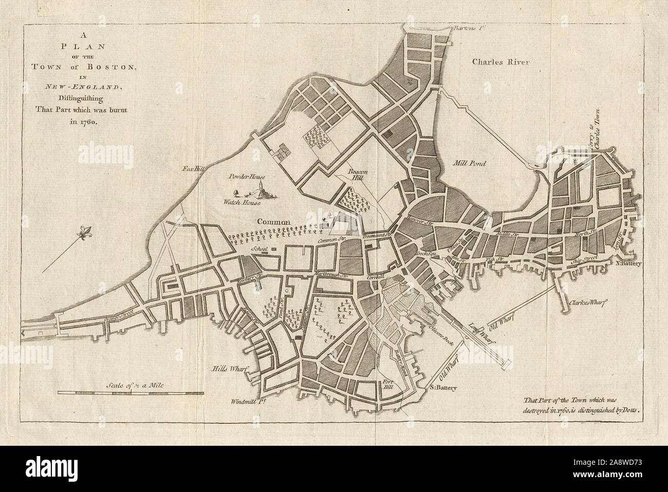
Map of Boston in 1760,
RMID:Image ID:2A8WD73
Image details
Contributor:
FLHC11 / Alamy Stock PhotoImage ID:
2A8WD73File size:
6.9 MB (460.3 KB Compressed download)Releases:
Model - no | Property - noDo I need a release?Dimensions:
1895 x 1266 px | 32.1 x 21.4 cm | 12.6 x 8.4 inches | 150dpiDate taken:
15 July 2014More information:
This image could have imperfections as it’s either historical or reportage.
Map of Boston in 1760, showing the extent of the Great Fire (dotted area)