···
Luxembourg city map poster, administrative area plan view. Black, white and blue detailed design map of Luxembourg city with rivers and streets. Outli Image details Date created:
14 March 2021
More information:
Luxembourg city map poster, administrative area plan view. Black, white and blue detailed design map of Luxembourg city with rivers and streets. Outline silhouette of metropolitan cityscape.
Search stock photos by tags
Similar stock vectors Belgium administrative divisions map colored by provinces. Brussels cityscape colorful poster. Vector illustration Stock Vector https://www.alamy.com/licenses-and-pricing/?v=1 https://www.alamy.com/belgium-administrative-divisions-map-colored-by-provinces-brussels-cityscape-colorful-poster-vector-illustration-image348920791.html RF 2B7JM0R – Belgium administrative divisions map colored by provinces. Brussels cityscape colorful poster. Vector illustration Luxembourg map. Detailed vector map of Luxembourg city administrative area. Dark poster with streets on white background. Stock Vector https://www.alamy.com/licenses-and-pricing/?v=1 https://www.alamy.com/luxembourg-map-detailed-vector-map-of-luxembourg-city-administrative-area-dark-poster-with-streets-on-white-background-image395799394.html RF 2DYX64J – Luxembourg map. Detailed vector map of Luxembourg city administrative area. Dark poster with streets on white background. Luxembourg districts map. Light gray background. Business concepts and wallpapers. Stock Vector https://www.alamy.com/licenses-and-pricing/?v=1 https://www.alamy.com/luxembourg-districts-map-light-gray-background-business-concepts-and-wallpapers-image357843271.html RF 2BP54MR – Luxembourg districts map. Light gray background. Business concepts and wallpapers. Flanders region, administrative map with labels, Belgium Stock Vector https://www.alamy.com/licenses-and-pricing/?v=1 https://www.alamy.com/flanders-region-administrative-map-with-labels-belgium-image470335894.html RF 2J95J6E – Flanders region, administrative map with labels, Belgium Vector poster editable city map Luxembourg Stock Vector https://www.alamy.com/licenses-and-pricing/?v=1 https://www.alamy.com/vector-poster-editable-city-map-luxembourg-image466169615.html RF 2J2BT2R – Vector poster editable city map Luxembourg Flanders region, administrative map isolated on white background, Belgium Stock Vector https://www.alamy.com/licenses-and-pricing/?v=1 https://www.alamy.com/flanders-region-administrative-map-isolated-on-white-background-belgium-image471188633.html RF 2JAGDWD – Flanders region, administrative map isolated on white background, Belgium Isometric 3D Luxembourg map, vector illustration with cities, borders, capital, administrative divisions and pointer marks; gradient blue background. Stock Vector https://www.alamy.com/licenses-and-pricing/?v=1 https://www.alamy.com/isometric-3d-luxembourg-map-vector-illustration-with-cities-borders-capital-administrative-divisions-and-pointer-marks-gradient-blue-background-image235675140.html RF RKBX18 – Isometric 3D Luxembourg map, vector illustration with cities, borders, capital, administrative divisions and pointer marks; gradient blue background. Flanders region, silhouette map isolated on white background, Belgium Stock Vector https://www.alamy.com/licenses-and-pricing/?v=1 https://www.alamy.com/flanders-region-silhouette-map-isolated-on-white-background-belgium-image472589792.html RF 2JCT92T – Flanders region, silhouette map isolated on white background, Belgium Luxembourg map. Detailed vector map of Luxembourg city administrative area. Poster with streets and water on grey background. Stock Vector https://www.alamy.com/licenses-and-pricing/?v=1 https://www.alamy.com/luxembourg-map-detailed-vector-map-of-luxembourg-city-administrative-area-poster-with-streets-and-water-on-grey-background-image395802304.html RF 2DYX9TG – Luxembourg map. Detailed vector map of Luxembourg city administrative area. Poster with streets and water on grey background. Stylized vector Luxembourg map. Infographic 3d gold map illustration with cities, borders, capital, administrative divisions and pointer marks, shado Stock Vector https://www.alamy.com/licenses-and-pricing/?v=1 https://www.alamy.com/stylized-vector-luxembourg-map-infographic-3d-gold-map-illustration-with-cities-borders-capital-administrative-divisions-and-pointer-marks-shado-image233963084.html RF RGHX8C – Stylized vector Luxembourg map. Infographic 3d gold map illustration with cities, borders, capital, administrative divisions and pointer marks, shado Isometric 3D Luxembourg map. Stylized vector map illustration with cities, borders, capital, administrative divisions and pointer marks; gradient bac Stock Vector https://www.alamy.com/licenses-and-pricing/?v=1 https://www.alamy.com/isometric-3d-luxembourg-map-stylized-vector-map-illustration-with-cities-borders-capital-administrative-divisions-and-pointer-marks-gradient-bac-image220459998.html RF PPJPYA – Isometric 3D Luxembourg map. Stylized vector map illustration with cities, borders, capital, administrative divisions and pointer marks; gradient bac Vector Luxembourg map illustration with blue neon lightpoints - triangle on dark blue gradient background. Administrative divisions Stock Vector https://www.alamy.com/licenses-and-pricing/?v=1 https://www.alamy.com/vector-luxembourg-map-illustration-with-blue-neon-lightpoints-triangle-on-dark-blue-gradient-background-administrative-divisions-image229187638.html RF R8TB4P – Vector Luxembourg map illustration with blue neon lightpoints - triangle on dark blue gradient background. Administrative divisions 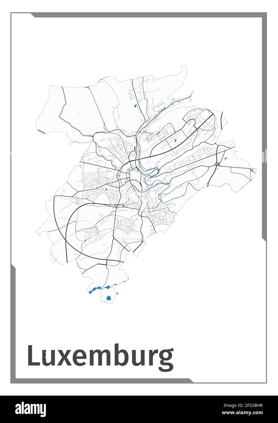