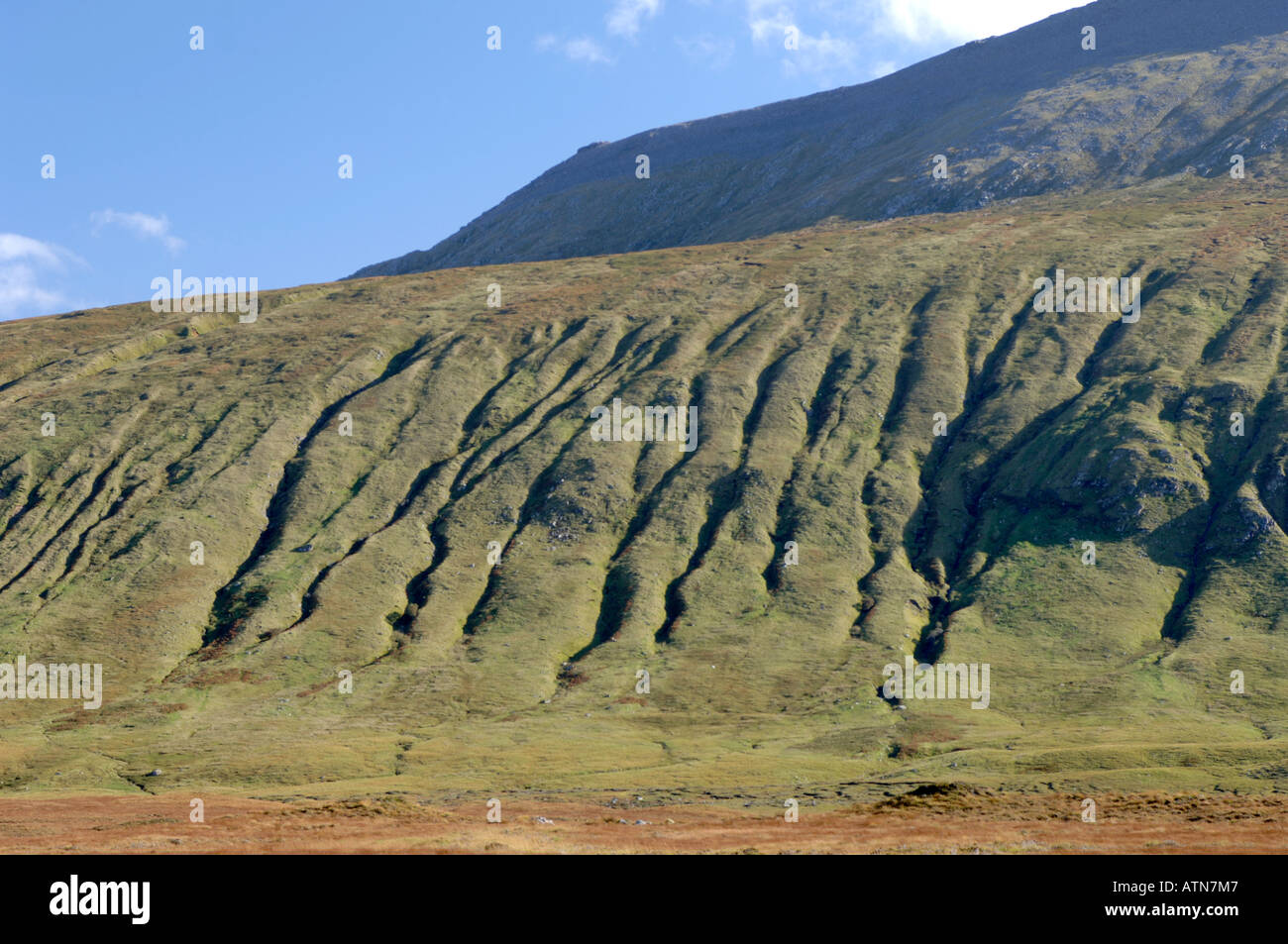
Long term Hillside Gullying from surface Erosion by repeated high levels of Water Run Off. XPL 3875-370
Image details
Contributor:
David Gowans / Alamy Stock PhotoImage ID:
ATN7M7File size:
55 MB (2.1 MB Compressed download)Releases:
Model - no | Property - noDo I need a release?Dimensions:
5380 x 3573 px | 45.6 x 30.3 cm | 17.9 x 11.9 inches | 300dpiLocation:
Durness. Highland Region. Sutherland. Scotland. United Kingdom.More information:
Landforms are categorised by characteristic physical attributes such as elevation, slope, orientation, stratification, rock exposure, and soil type. Gross physical features or landforms include intuitive elements such as berms, mounds, hills, ridges, cliffs, valleys, rivers, peninsulas and numerous other structural and size-scaled (i.e. ponds vs. lakes, hills vs. mountains) elements including various kinds of inland and oceanic waterbodies and sub-surface features. Sutherland stretches from Loch Assynt to Cape Wrath. This is a varied, wild and dramatic landscape, from the remote interior of Sutherland to the rugged coastline with its sheer sea cliffs, crashing waves and golden stretches of sand. Sutherland is noted for its beautiful beaches, from the beaches on the north-west coastline at Sandwood Bay and Oldshore Mor to the beaches on the northern coast at Faraid Head, Bettyhill and Strathy. The different landscapes of Sutherland provide a wide variety of walks from the relatively easy walk to Eas Coul Aulin, Britain's highest waterfall, to the more strenuous climb up Scotland's most north-westerly Munro, Ben Hope.