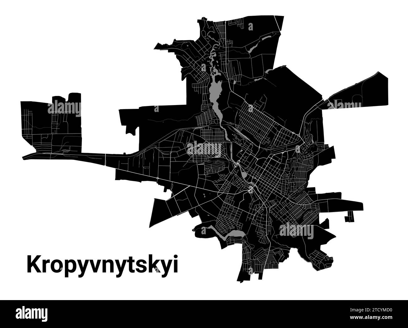
Kropyvnytskyi city map, Ukraine. Municipal administrative borders, black and white area map with rivers and roads, parks and railways. Vector illustra
RFID:Image ID:2TCYMD0
Image details
Contributor:
Kostiantyn Levin / Alamy Stock VectorImage ID:
2TCYMD0Releases:
Model - no | Property - noDo I need a release?Date created:
2 September 2023More information:
Kropyvnytskyi city map, Ukraine. Municipal administrative borders, black and white area map with rivers and roads, parks and railways. Vector illustration.