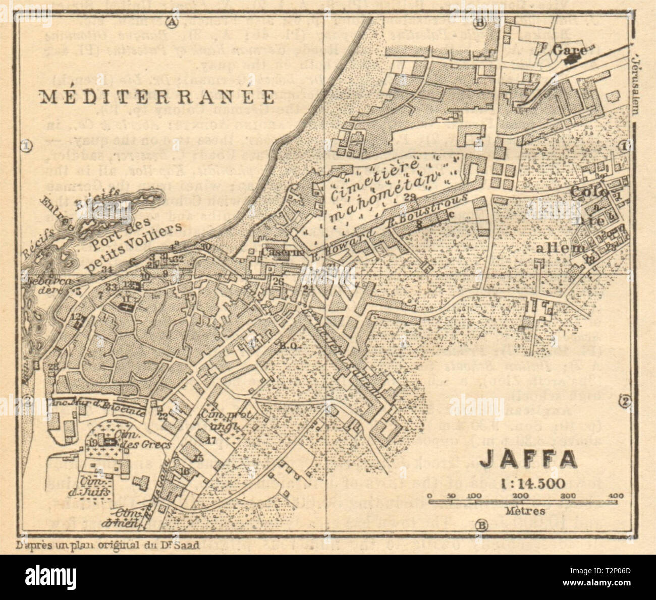
Jaffa / Tel Aviv antique town city plan. Yafo. Israel. SMALL 1912 old map
RFID:Image ID:T2P06D
Image details
Contributor:
Antiqua Print Gallery / Alamy Stock PhotoImage ID:
T2P06DFile size:
12.5 MB (716 KB Compressed download)Releases:
Model - no | Property - noDo I need a release?Dimensions:
2276 x 1926 px | 38.5 x 32.6 cm | 15.2 x 12.8 inches | 150dpiDate taken:
1912Location:
IsraelMore information:
This image could have imperfections as it’s either historical or reportage.
Jaffa. Artist/engraver/cartographer: Wagner & Debes. Provenance: "Palestine & Syria, with routes through Mespotamia and Baylonia and the island of Cyprus", handbooks for travellers by Karl Baedeker. 5th edition. Leipzig. Type: Antique tourist map.