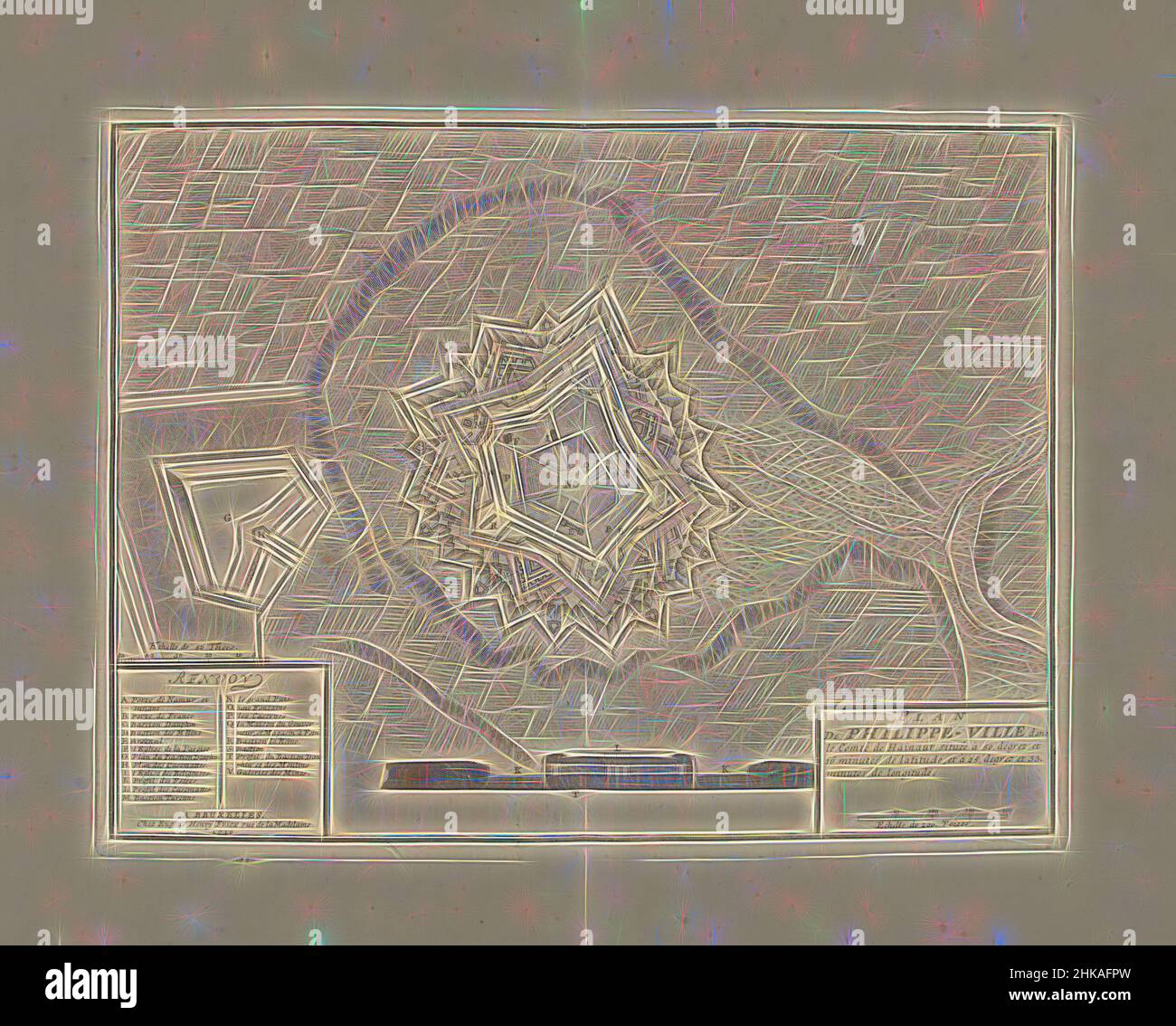
Inspired by Map of Philippeville, 1710, Plan De Philippe-Ville, Map of Philippeville, 1710. Below a cross-section of the rampart, on the left the legend A-V. Part of a bundled collection of plans of battles and towns renowned in the War of the Spanish Succession., print maker: Jacobus Harrewijn, Reimagined by Artotop. Classic art reinvented with a modern twist. Design of warm cheerful glowing of brightness and light ray radiance. Photography inspired by surrealism and futurism, embracing dynamic energy of modern technology, movement, speed and revolutionize culture
RFID:Image ID:2HKAFPW
Image details
Contributor:
Penta Springs Limited / Alamy Stock PhotoImage ID:
2HKAFPWFile size:
35 MB (2.3 MB Compressed download)Releases:
Model - no | Property - noDo I need a release?Dimensions:
3904 x 3138 px | 33.1 x 26.6 cm | 13 x 10.5 inches | 300dpiPhotographer:
ArtotopMore information:
This image could have imperfections as it’s either historical or reportage.