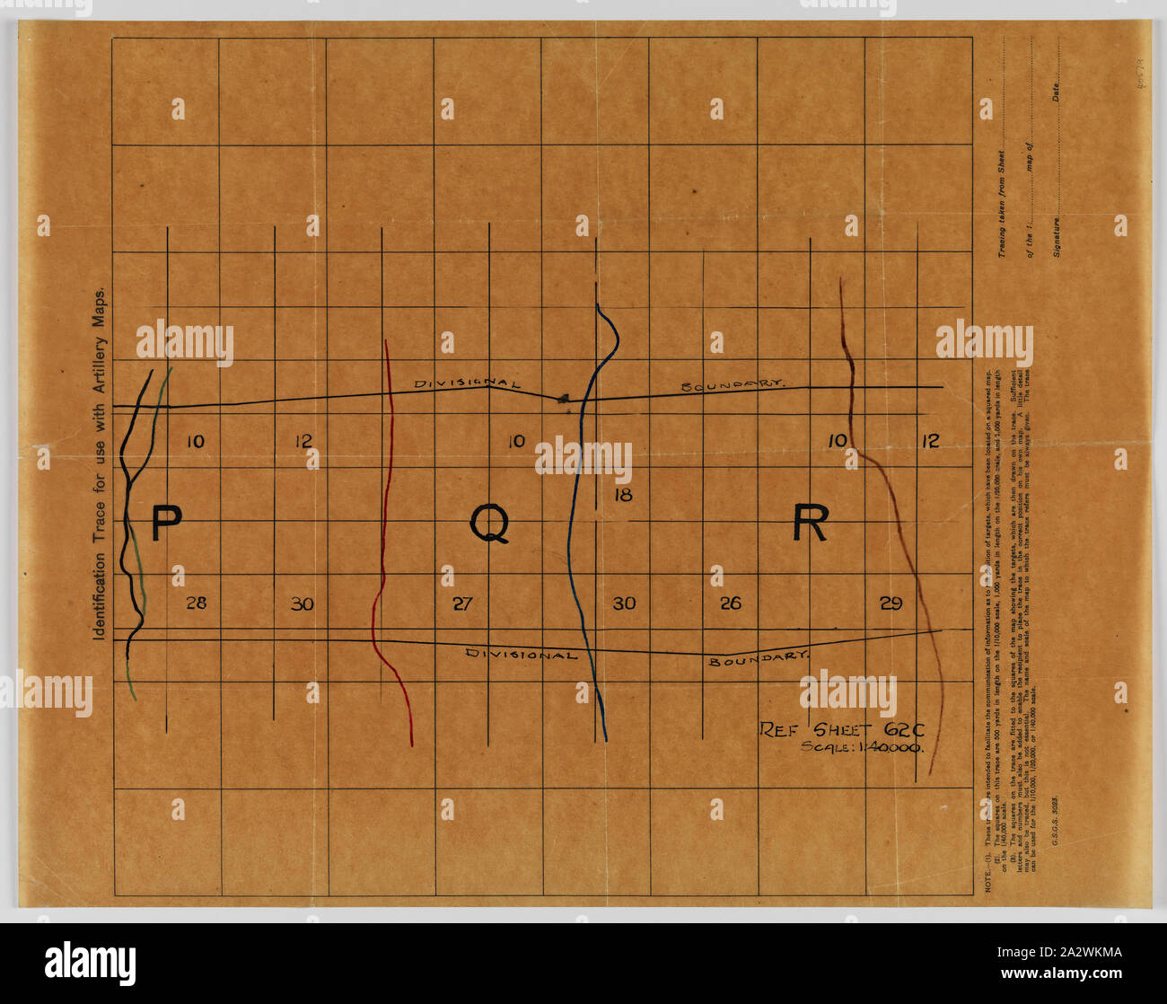
Identification Trace Map - Military, 'For Use With Artillery Maps', Sheet 62c, Scale 1:40,000, World War I, 1914-1918, Alternative Name(s): Map Overlay Medium light brown map on tracing paper, World War I, titled 'Identification trace for use with artillery maps'. It is inscribed 'G.S.G.S. 3023': Geographical Section of the General Staff, British Expeditionary Force. The identification trace map was printed as means of transferring the position of targets located on more detailed artillery maps of scale
RMID:Image ID:2A2WKMA
Image details
Contributor:
Penta Springs Limited / Alamy Stock PhotoImage ID:
2A2WKMAFile size:
34.4 MB (1.8 MB Compressed download)Releases:
Model - no | Property - noDo I need a release?Dimensions:
3900 x 3084 px | 33 x 26.1 cm | 13 x 10.3 inches | 300dpiPhotographer:
ArtokoloroMore information:
This image could have imperfections as it’s either historical or reportage.
Identification Trace Map - Military, 'For Use With Artillery Maps', Sheet 62c, Scale 1:40, 000, World War I, 1914-1918, Alternative Name(s): Map Overlay Medium light brown map on tracing paper, World War I, titled 'Identification trace for use with artillery maps'. It is inscribed 'G.S.G.S. 3023': Geographical Section of the General Staff, British Expeditionary Force. The identification trace map was printed as means of transferring the position of targets located on more detailed artillery maps of scale