Iceland. Norwegian Sea. North Atlantic. ADMIRALTY sea chart 1941 (1956) map
RFID:Image ID:2GKEN37
Image details
Contributor:
Antiqua Print Gallery / Alamy Stock PhotoImage ID:
2GKEN37File size:
286.2 MB (15.8 MB Compressed download)Releases:
Model - no | Property - noDo I need a release?Dimensions:
12153 x 8230 px | 102.9 x 69.7 cm | 40.5 x 27.4 inches | 300dpiDate taken:
1956Location:
IcelandMore information:
This image could have imperfections as it’s either historical or reportage.
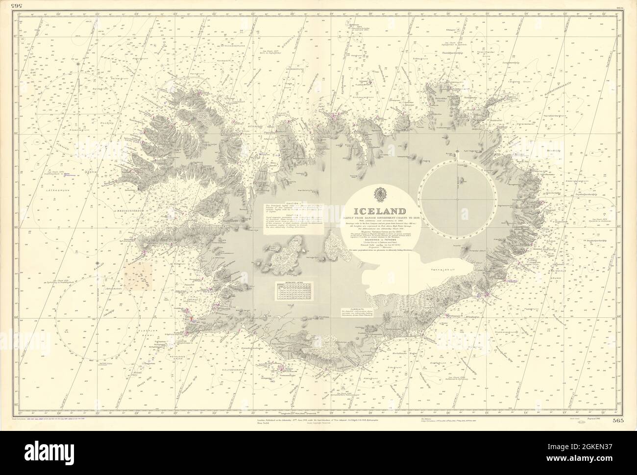
Iceland . Artist/engraver/cartographer: Mainly from Danish Government charts to 1939 with additions and corrections to 1954. Provenance: London. Published at the Admiralty under the Superintendence of Vice Admiral J.A. Edgell, C.B., O.B.E., Hydrographer. Crown Copyright reserved. Type: Large British nautical sea chart. Sea charts such as this were working navigational aids which were commonly updated and corrected during their working lives by hand annotation and/or printed overlays. They may also feature manuscript navigational notes, comments or other markings.